In recent years, China's Antarctic scientific expeditions have made significant progress, providing essential data for polar environmental research, ecological monitoring, and global climate change analysis. As a key promoter of domestic surveying and mapping technology, Riebo Technology has been actively supporting polar surveying work since the 37th Antarctic expedition by providing advanced aerial photogrammetry systems and technical support, thereby contributing significantly to China's polar scientific research.
Overview of Antarctic Expeditions
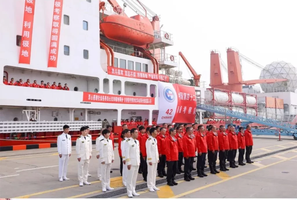
China's 37th Antarctic scientific expedition commenced on November 10, 2020, and concluded successfully on May 7, 2021, lasting 179 days and covering a voyage of over 36,000 nautical miles. During this period, comprehensive investigations of the marine environment and ecosystem were conducted across the four major seas surrounding Antarctica. This expedition set a record for the latest return of China's Antarctic icebreaker and achieved a series of important outcomes. Subsequently, the 38th Antarctic scientific expedition team departed in batches on November 5 and November 23, 2021, with voyages of over 33,000 and 31,000 nautical miles, respectively.
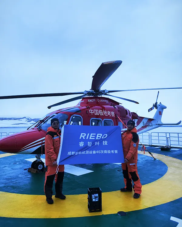
During these missions, Riebo Technology actively participated and has continuously supported the 38th, 39th, 40th, and 41st Antarctic scientific expeditions since the 37th mission, providing comprehensive aerial photogrammetry equipment and technical solutions to assist relevant national departments in obtaining high-precision surveying and mapping geographic information results.
Equipment and Technical Support by Riebo Technology
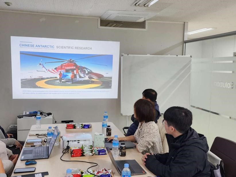
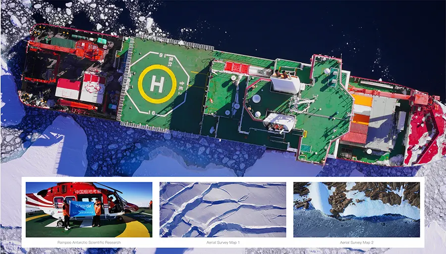
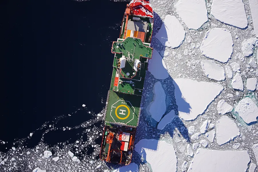
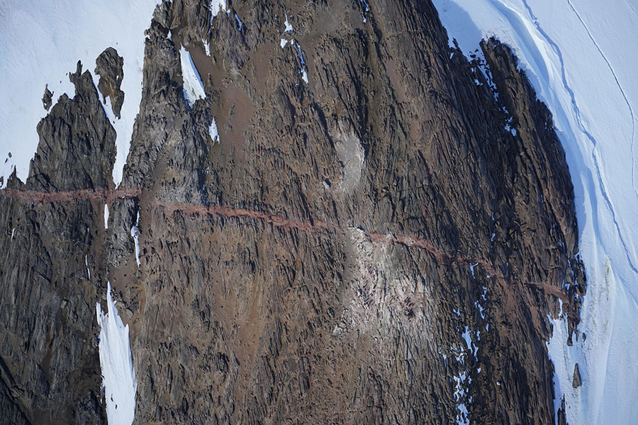
In the Antarctic scientific expeditions, the aerial photogrammetry systems provided by Riebo Technology have been widely utilized. Helicopters such as AW169, Ka-32, and Dolphin, as well as various experimental drone models aboard the research vessels "Xuelong" and "Xuelong 2," were equipped with Ruibo's independently developed R4, R6, R10 orthophoto cameras, and DG series five-lens systems. These devices ensured stable and efficient completion of high-resolution aerial photogrammetry tasks in extreme environments.
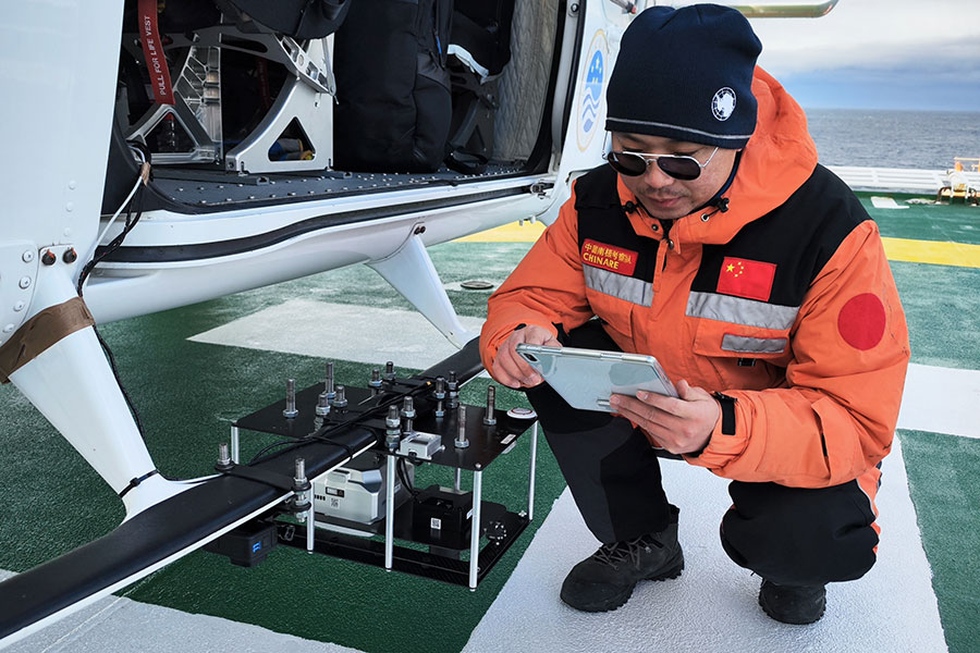
Riebo Technology's aerial photogrammetry systems are characterized by high precision, stability, and adaptability, providing reliable technical support to China's Antarctic expedition teams. In the harsh natural environment of Antarctica, these devices successfully collected a substantial amount of crucial geographic information data, providing a solid technical foundation for China's polar surveying and scientific research.
Achievements and Industry Contributions
During China's 38th Antarctic scientific expedition, the aerial photogrammetry system platform provided by Riebo Technology was successfully applied to China's Antarctic Zhongshan Station and key research areas in East Antarctica, collecting high-resolution aerial photography data. This marked the first large-scale application of domestically produced helicopter-mounted aerial photogrammetry systems in East Antarctica, providing essential aerial imagery data for Antarctic scientific research.

The expedition team expressed high recognition of Riebo Technology's technical support in their letter of appreciation, acknowledging its contribution to polar surveying work. This achievement not only enhanced China's polar scientific expedition's surveying capabilities but also promoted the application and development of domestic surveying equipment in extreme environments.
Future Prospects
Looking ahead, Riebo Technology will continue to deepen technological innovation, promoting the widespread application of domestic surveying equipment in polar expeditions and geographic information collection. The company aims to collaborate with research institutions to provide more advanced and precise surveying solutions for China's polar expeditions, assisting China's polar scientific research in reaching new heights and advancing global surveying technology.
Since China's 37th Antarctic scientific expedition, Riebo has consistently provided reliable technical support for successive missions, aiding polar scientific research.
The aerial photogrammetry systems developed by Riebo have demonstrated stable operation in extreme environments, accurately acquiring extensive high-resolution geographic information data. This has provided crucial technical support for polar geomorphological surveying, glacier change monitoring, and environmental assessment. The application of this system has not only improved the operational efficiency of Antarctic expeditions but also offered significant data support for China's polar research.
In the future, Riebo will continue to deepen technological innovation, providing professional surveying solutions for more scientific research and engineering applications, contributing to the advancement of China's polar expeditions and the development of global geographic information technology.