
The Antarctic
Research Project
Read the News

Electroluminescence (EL) Inspection Solution
Offers rapid, high-resolution component detail analysis
Electroluminescence Inspection →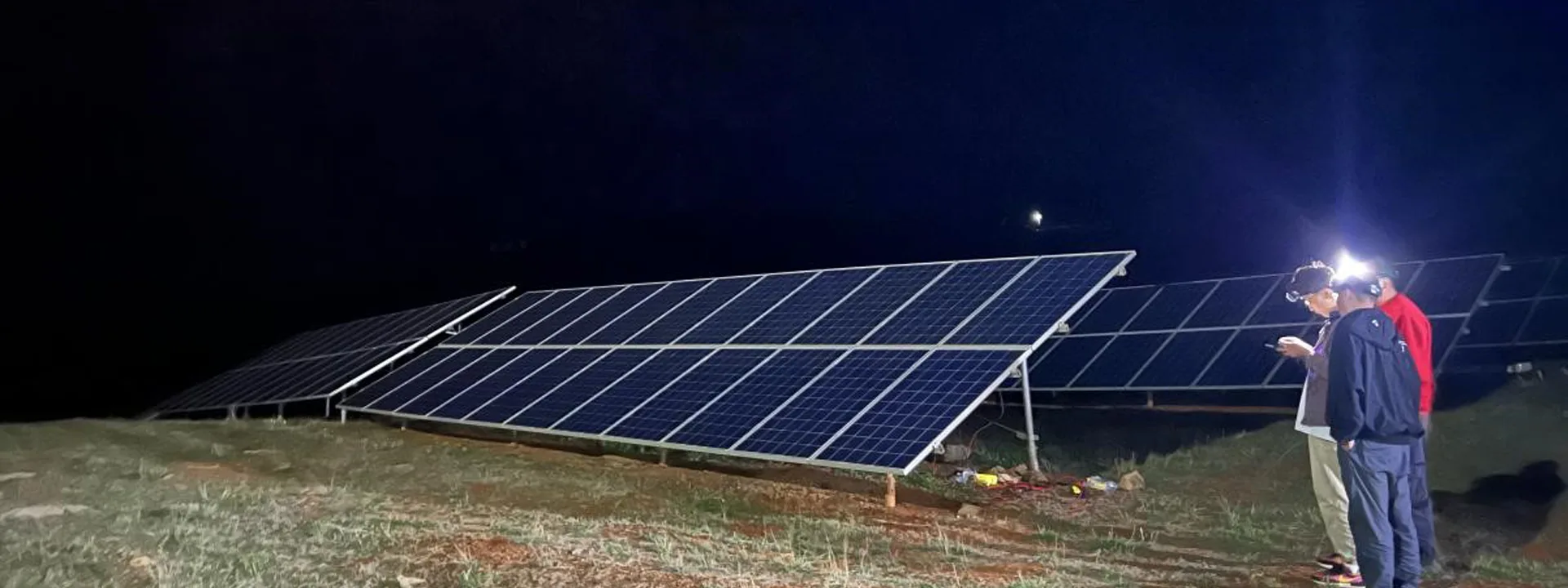
Chip-Driven Precisionq
Riebo Launches Pros/P/M Mapping Camera Series with All-New, Powerful Chip Upgrades
Mapping Cameras →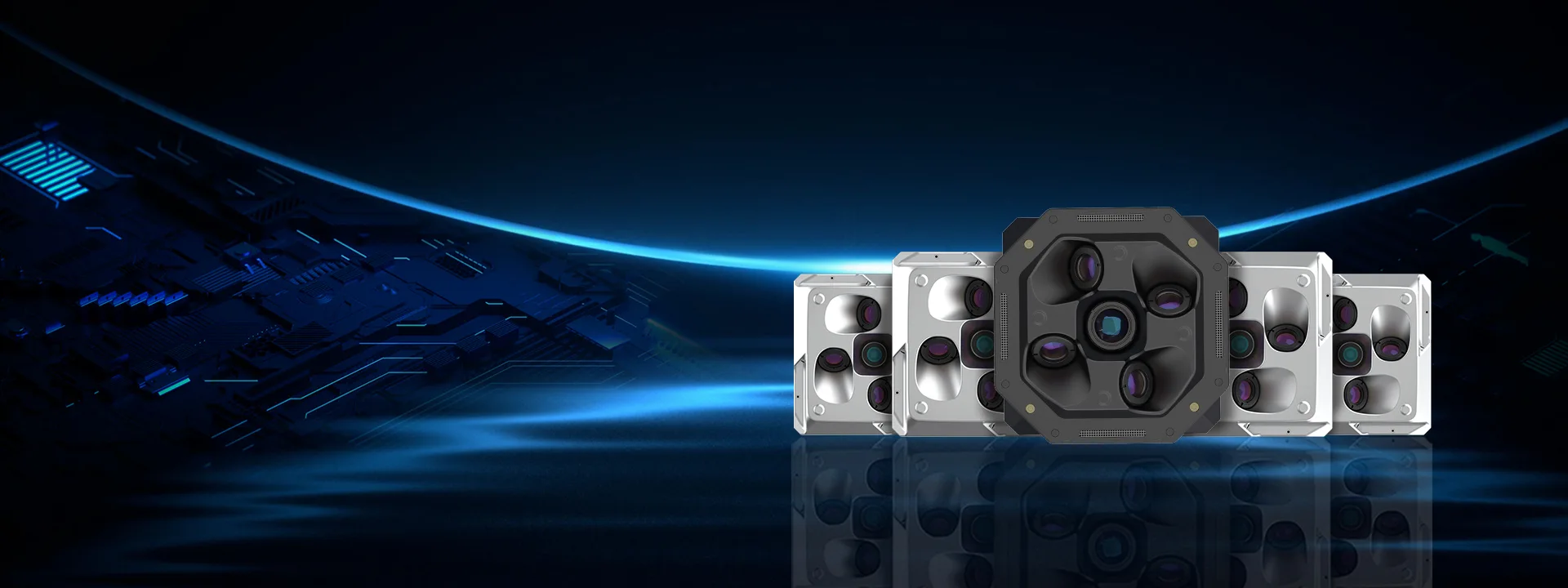
News Center
Focusing on aerial mapping and infrastructure inspection, sharing technology trends and industry practices

How to Improve 3D Mapping Efficiency in Complex Terrain Projects with Drone Oblique Photogrammetry
Compared with traditional surveying and mapping, d...

How to Reduce Speckle Artifacts in Oblique Photogrammetry Models
In daily operations, Riebo’s technical team freque...

Riebo Technology Supports China’s 42nd Antarctic Expedition with Drone Photogrammetry Solutions
China’s 42nd Antarctic Expedition Sets Sail — Rieb...
About Riebo
Riebo Technology is a national specialized and sophisticated "little giant" enterprise, focusing on the R&D and sales of aerial inspection and aerial surveying equipment. With core technologies in image ISP algorithms, optics, inertial navigation, photogrammetry, and spatial data processing, Riebo Technology has established a reputation for delivering high-quality products and services. Our domestic professional market share exceeds 70%, and our products are exported to more than 40 countries worldwide.