China’s 42nd Antarctic Expedition Sets Sail — Riebo Technology Continues to Empower Polar Intelligent Exploration
On November 1, 2025, China’s 42nd Antarctic expedition team departed from Shanghai for the South Pole. This mission will advance the construction and optimization of supporting facilities for the Qinling Station, continue comprehensive multidisciplinary research and observation in Antarctica, and promote the application of major R&D projects and domestic equipment technologies. Meanwhile, the team will enhance Antarctic environmental monitoring capabilities, expand international cooperation, and contribute Chinese wisdom to global polar governance.

Since China’s first Antarctic expedition in 1984, the nation’s polar exploration has achieved 40 years of remarkable progress. Generations of expedition members have measured the polar frontiers with scientific dedication and courage, collecting vast scientific data across geology, biology, and meteorology, while preserving invaluable historical artifacts and visual records.

From the establishment of the Great Wall Station to the completion of the Qinling Station, from the Arctic Yellow River Station to the China-Iceland Joint Research Base, China has gradually built a comprehensive polar research network spanning both poles. These milestones not only deepen global understanding of polar ecosystems but also embody the principles of consultation, collaboration, and shared benefit in global governance.
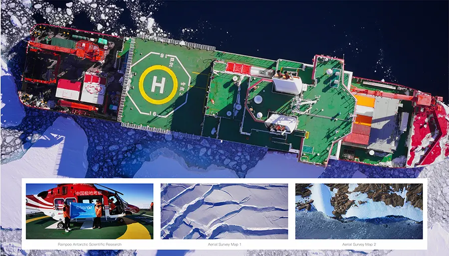
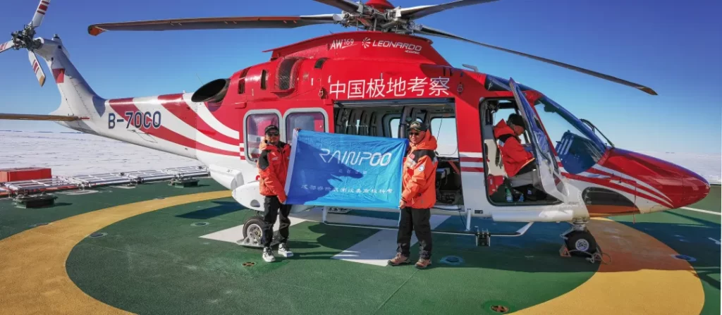
Chengdu Riebo Technology Co., Ltd. (Riebo Technology) has been supporting China’s Antarctic expeditions since its participation in the 37th mission. The company’s independently developed aerial photogrammetry system was successfully applied in polar research for the first time, assisting the expedition team in completing key aerial mapping tasks in Antarctica.
Featuring high-precision sensing modules and a cold-resistant design, Riebo’s system operated reliably under extreme environmental conditions, greatly improving data collection efficiency and operational safety. It provided essential technical support for accurate Antarctic geographic information acquisition and scientific research.
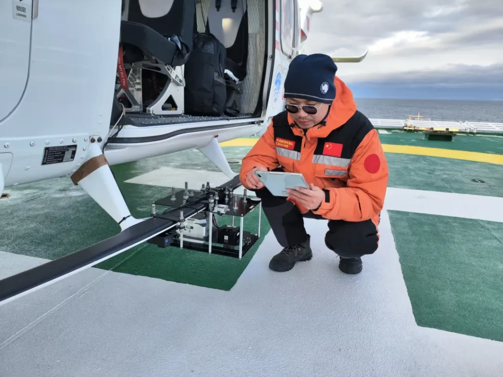
During the 42nd Antarctic mission, the expedition team will utilize Riebo’s aerial survey equipment mounted on the Xuelong icebreaker’s helicopter to conduct topographic mapping of the station area and key focus zones. The high-resolution terrain data obtained will fill critical gaps in China’s aerial imaging coverage of these regions, offering a solid foundation for future polar scientific research and exploration.