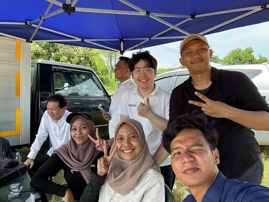
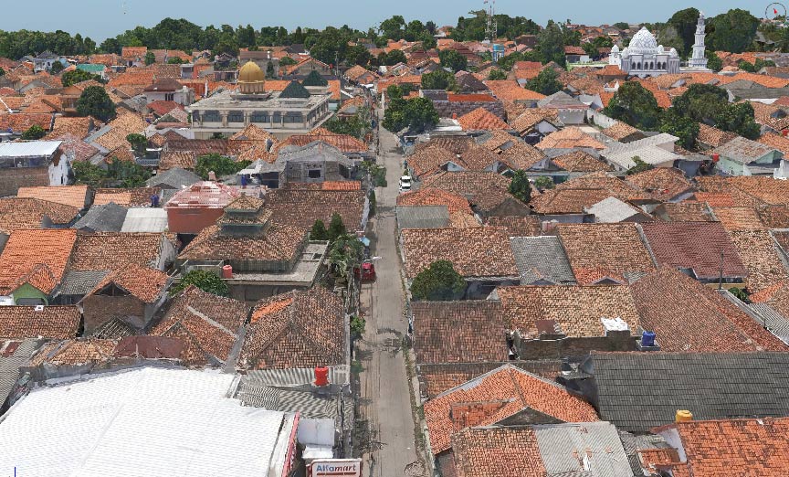
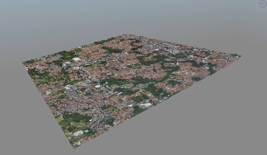
Serang, an important city in Indonesia, recently achieved a milestone with its first comprehensive area mapping using high-precision cameras mounted on VTOL drones. Previously, the Serang government relied on traditional methods for cadastral information. This new approach has significantly increased efficiency, saved manpower, and produced higher resolution models compared to traditional methods.
Basic Info
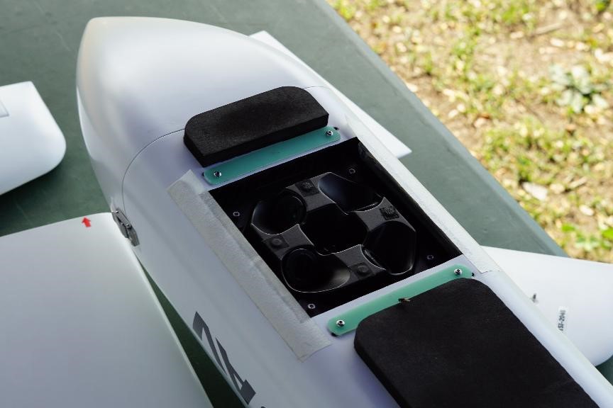
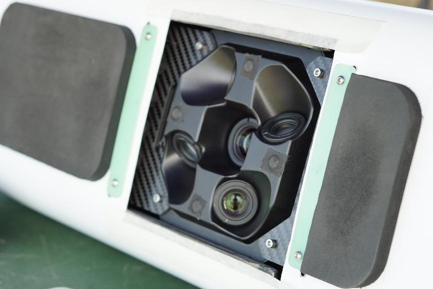
- Equipment Used: Riebo DG10 + JOUAV CW15
- Area Covered: 6-7 km² (~50,000 households)
- GSD: 2cm
- Flight Time: 1h 40min (2 flights)
- Data Collected: 14,555 images
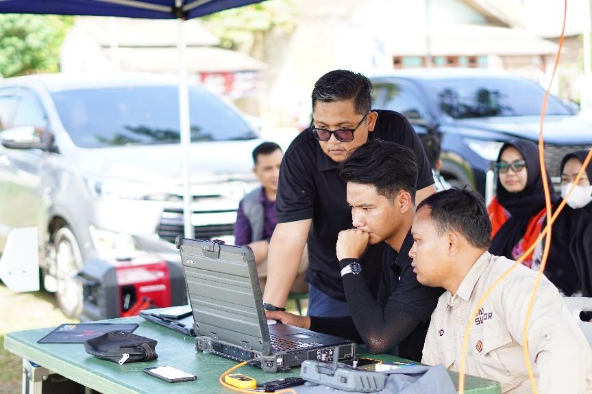
- Data Processing Time: 8 Days
- Flight Altitude: 265m
Benefits for Our Client
- Generated data in multiple formats (LAS, OSGB, S3M, DSM) compatible with the local #LandAgency management platform, allowing direct application of survey results.
- Enhanced management of high-density areas with detailed insights into building sizes, cadastral management, demographic information, urban planning, and historical archiving.
Technology is transforming lives. Advanced photogrammetry has significantly improved the local government's management capabilities, ultimately providing residents with a more convenient and efficient living environment.


