M Series
Surveying Essentials
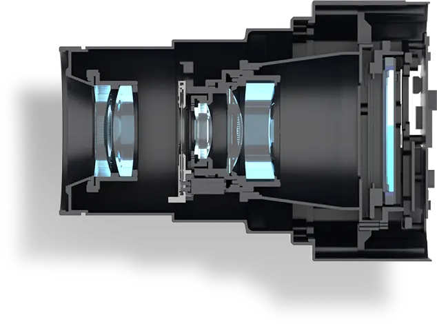
Basic Oblique Photography Cameras
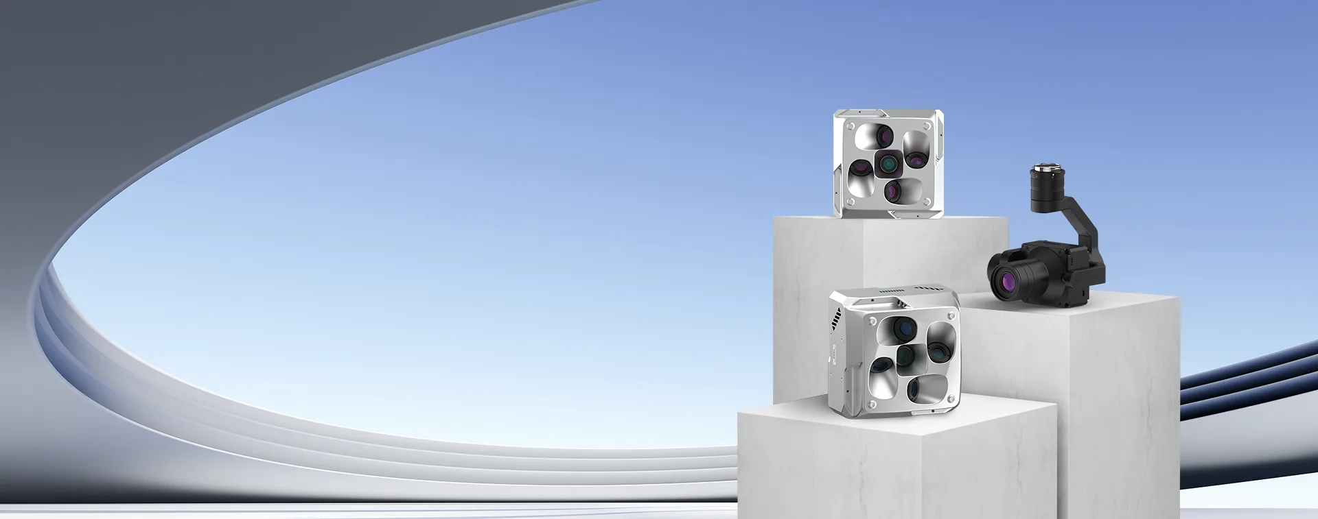
INTRODUCTION
INTRODUCTIONBasic Oblique Photography Cameras
Developed specifically for surveying scenes, it meets basic surveying needs, facilitating straightforward operation, and balancing model accuracy with sampling efficiency.
Compatible with various drone platforms.
Easy mounting and user-friendly operation efficiently collect oblique surveying data, providing robust support for your surveying endeavors.
Riebo M Series, a perfect choice for surveying beginners. Embark on your surveying journey and grow together.
- SERIES COMPARISON -
- Applications
- Payload
- High-performance Chip
- Image Quality
- Wide Dynamic Range/Performance
- High ISO Noise Reduction
- Modeling Effect
- Triggering Speed
- Maximum Photo Capacity with Full Encoding
- Lens Layout
- Brightness Calibration
- Emergency Real-time Modeling
- P Explore P Series
- Mapping
Smart City - VTOL
- q
- rrrrr
- rrrrr
- rrrrr
- rrrrr
- sssss
- 1MB/MPIX
- Parallel
- L
- L
- M
- Mapping
- VTOL/Multi-rotor
- M
- rrr
- rr
- rrr
- rrr
- sssss
- 0.57MB/MPIX
- Surround
- M
- M
- CAMERA TECHNOLOGY ANALYSIS -
Explore “Mapping Camera TechHub” by RieboTech and discover the latest in high-precision mapping camera technology. We provide advanced aerial mapping solutions to help you capture high-resolution data and enhance survey efficiency. Visit the page to see how our innovative products perform in extreme environments and enable accurate geospatial data collection. Start exploring now and unlock new possibilities in precision mapping!