-
SkyScanner V7
Support most of Riebo's products
-
AeroMap Pro
Brand-new upgraded version of route planning software
-
SkyScanner V7Runtime environment: SkyScanner supports Windows 7/10 64-bit operating systems, and the display resolution is not lower than 1080×720p.For WindowsDownload

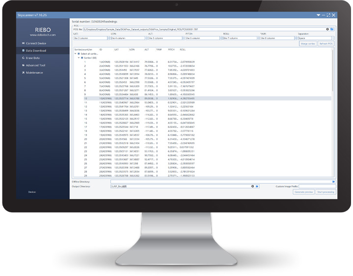
Skyscanner V7 is a software independently developed by Chengdu Riebo Technology for the download of all series of tilt camera data, which is a comprehensive upgraded version of V6. While optimizing the download speed, it also supports the import of DJI M300/M600, CHCNAV, Jouav, and other UAV POS, and automatically generates project block indexes for modeling software such as Context Capture, Smart 3D of Kingview, and DJI Mapper, with functions such as one-click import of data, automatic writing of location information, elimination of redundant aerial photos, and offline processing of local data, minimizing manual intervention to the greatest extent.
-
AeroMap ProRuntime environment: AeroMap Pro supports the computer Windows10/11 64-bit operating system, and the running memory RAM is ≥ 8GB.For WindowsDownload

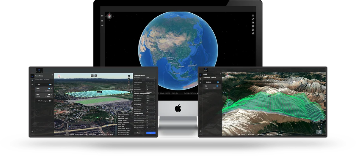
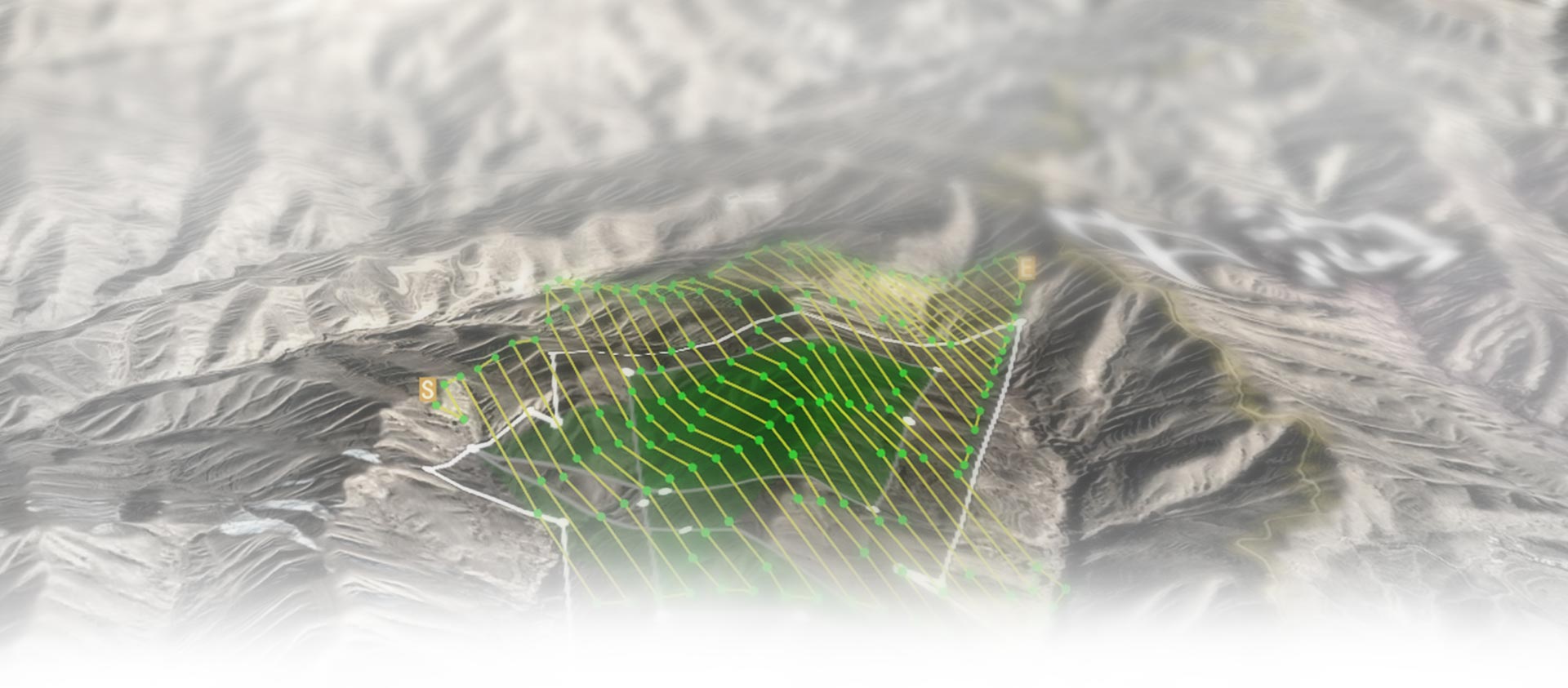
AeroMap Pro is a brand-new upgraded version of the RRA route planning software. It is upgraded on the basis of the original software functions, with higher performance and more convenient operation. It supports the loading of Chinese terrain and global terrain, and can import KML and 3D models. At the same time, it supports four types of route types, namely grid, surround, terrain-following, and concentric surround, to meet various application needs and create a convenient and intelligent route planning platform for users.


