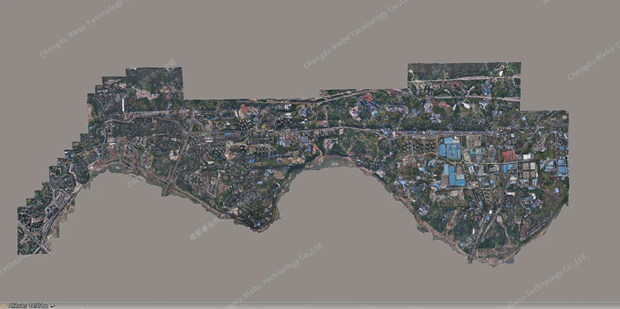
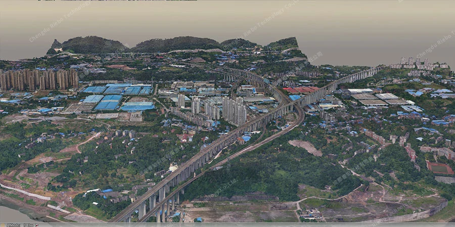
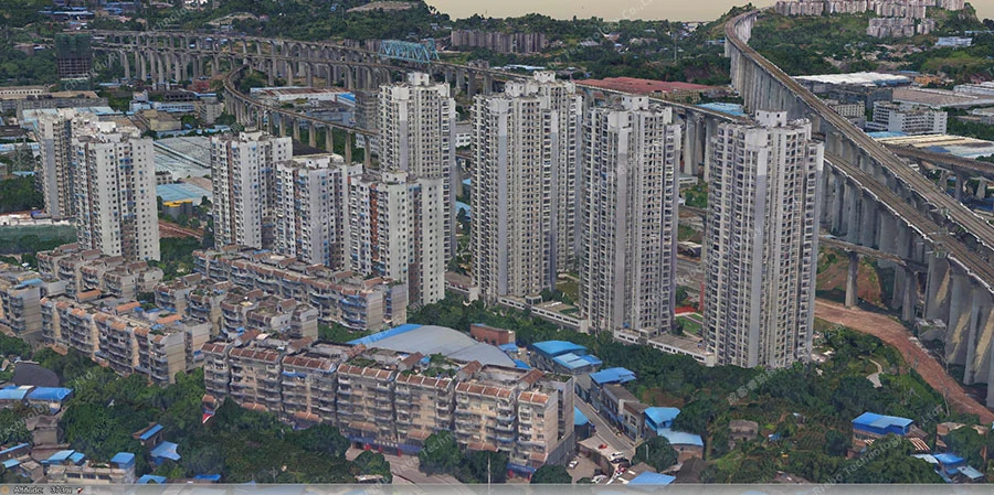
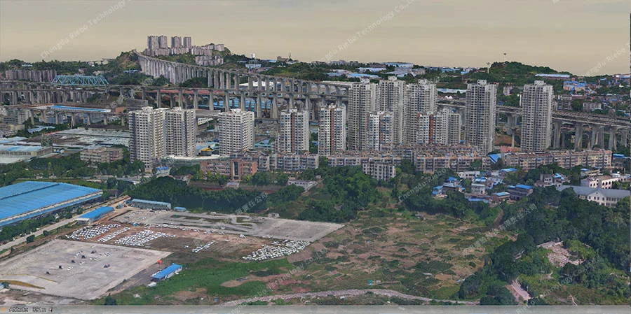
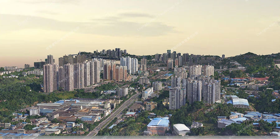
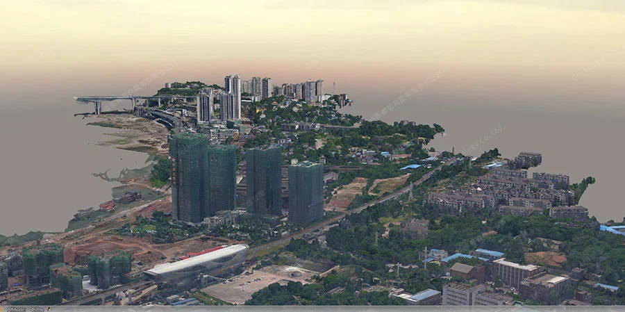
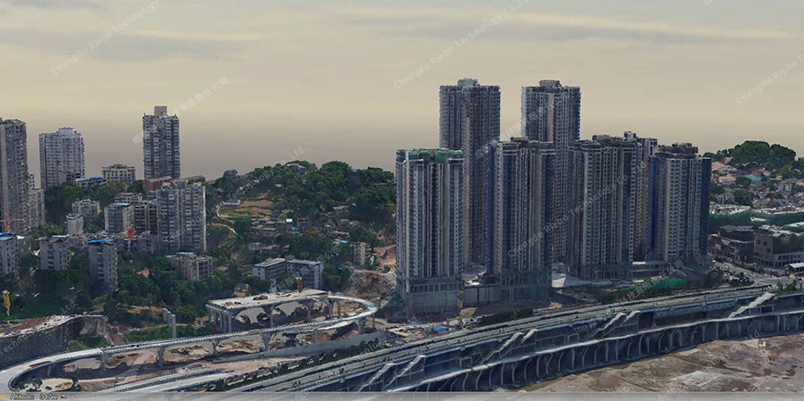
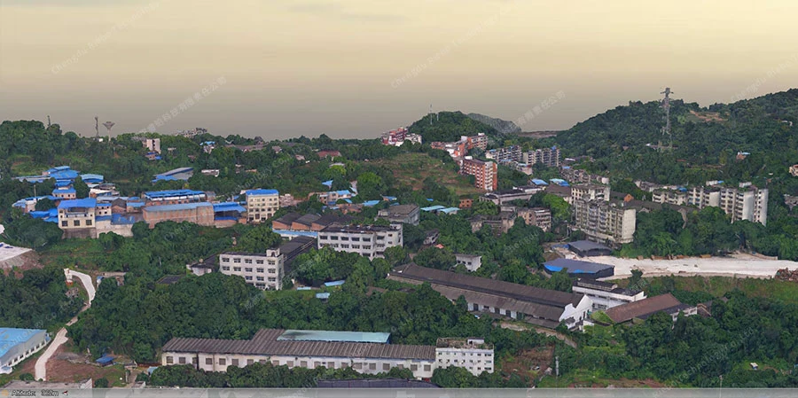
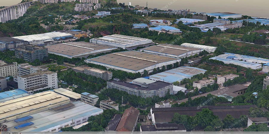
Discover our innovative urban-scale and large-area 3D modeling solution, powered by manned helicopters. Elevate your mapping capabilities with cutting-edge technology, capturing high-resolution aerial imagery and precise terrain data. Explore how our solution revolutionizes urban planning and mapping processes for unparalleled accuracy and efficiency.
Urban-Scale Large-Area 3D Modeling Solution based on Manned Helicopters
- Author:Riebo
- Updated:11/27/2023
-
Drone Oblique Photography: 8 Common UAV Accidents and Safety Solutions
oblique photography has become one of the most valuable tools in modern surveying, mapping, and 3D modeling. By capturing images at multiple angles, drones provide highly detailed data for city planning, construction monitoring, digital twin modeling, an…
News Hub09/30/2025 -
Ultra-Detailed Workflow and Standards for 3D Model Individualization
the rapid advancement of social informatization and the comprehensive development of “Digital Cities” and “Smart Cities,” refined urban and social management urgently requires vast amounts of accurate, reliable three-dimensional geographic information. In…
News Hub09/29/2025 -
Six Key Factors Influencing the Accuracy of Oblique Photogrammetry
UAV-based oblique photogrammetry being widely applied in surveying, mapping, and smart city development, the accuracy of survey results directly determines project value. However, numerous factors during aerial surveys can interfere with data acquisition …
News Hub09/23/2025 -
Key Differences Between Urban 3D Reality Modeling and Rural Land Registration Projects
today’s rapidly developing geospatial industry, urban 3D reality modeling and rural land registration projects have become two major application areas. The former, exemplified by Qingdao’s 1.79 billion RMB 3D modeling project, drives the development of smar…
News Hub09/23/2025 -
Oblique Photogrammetry Reshaping Rural Land Surveys
land surveys form the foundation for clarifying property ownership and safeguarding farmers’ rights. However, challenges such as wide survey coverage, scattered land features, and the low efficiency of manual measurements have long constrained progress. …
Case Studies09/17/2025