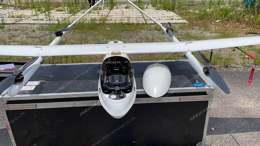
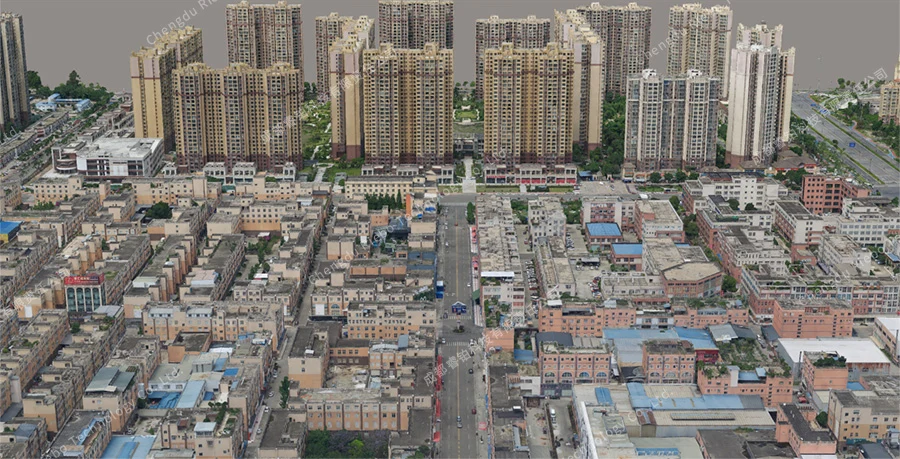
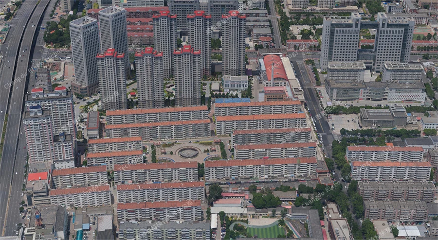
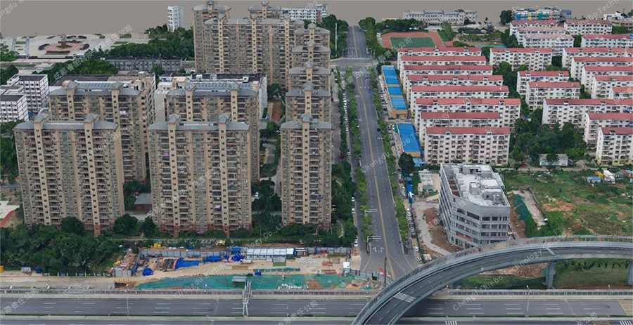
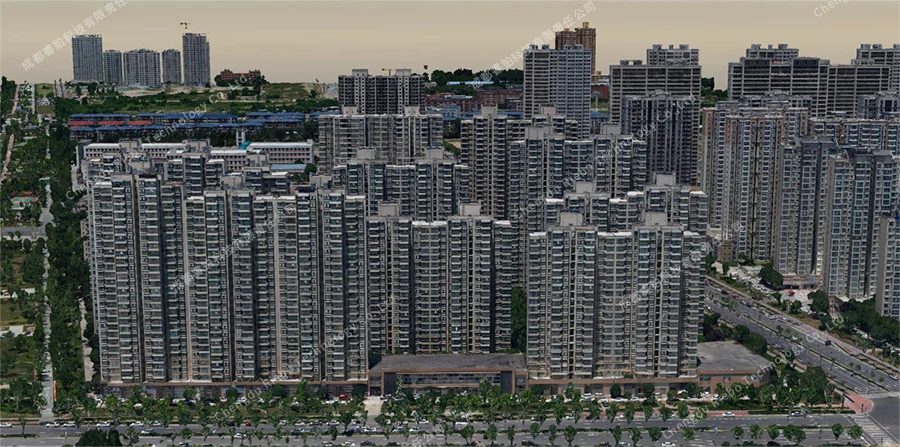
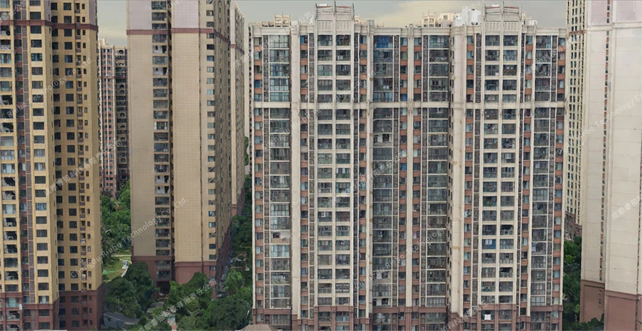
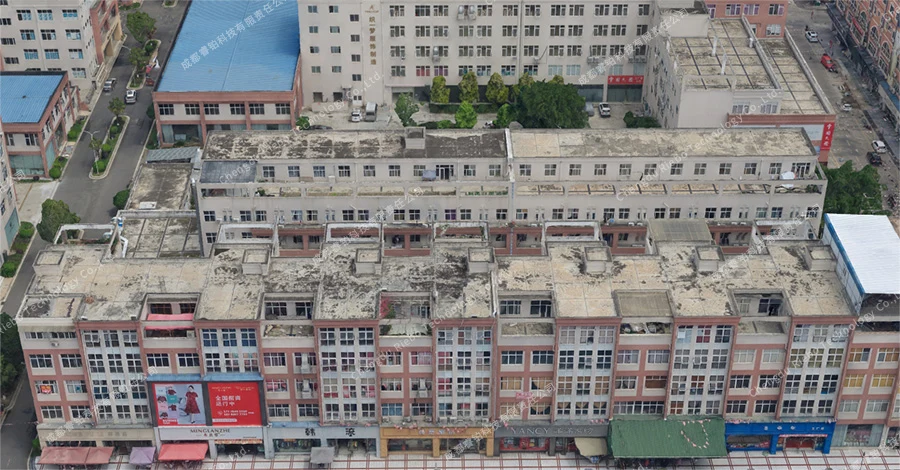
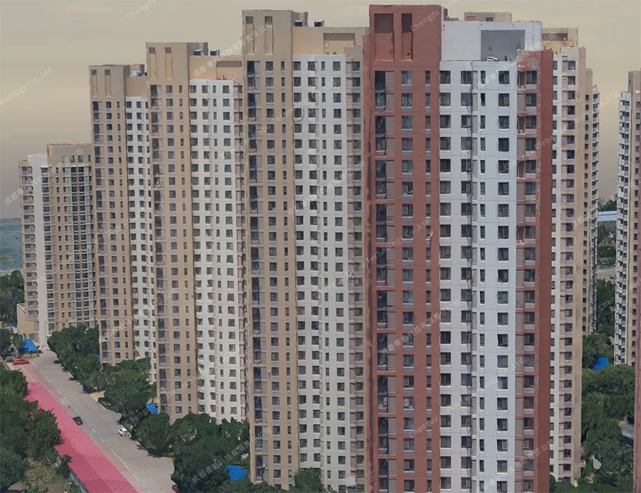
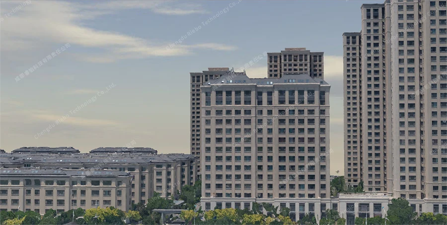
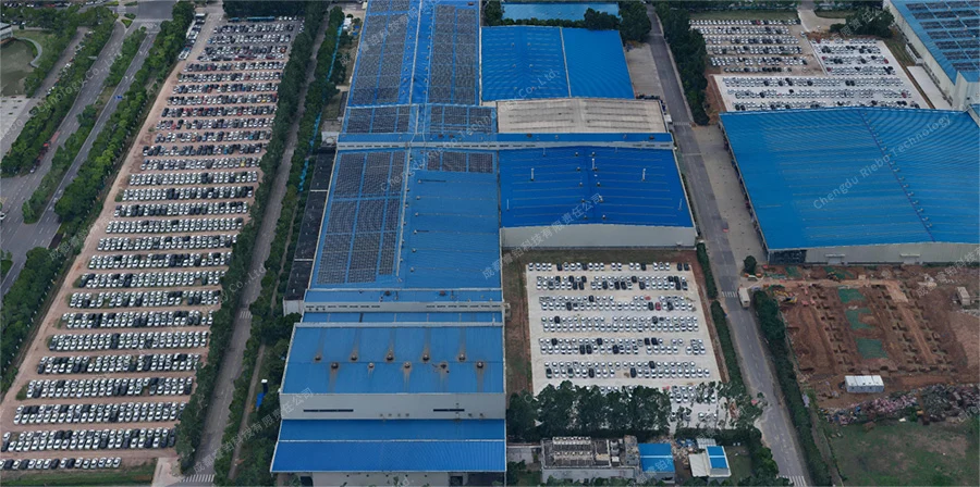
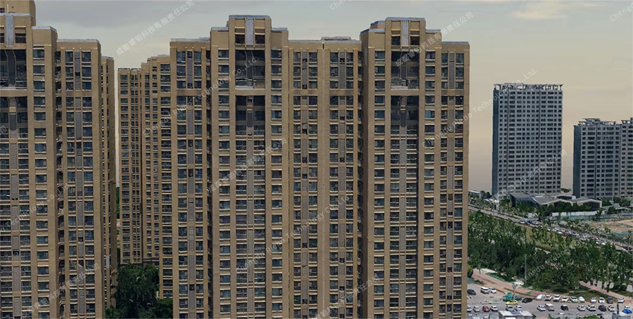
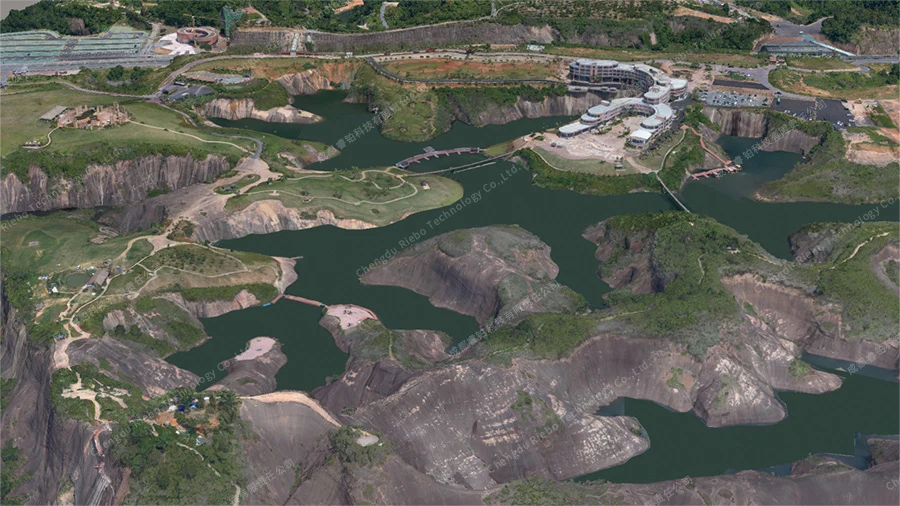
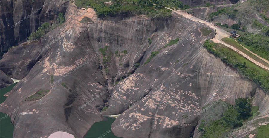
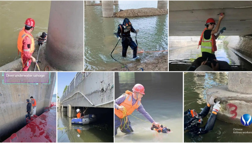
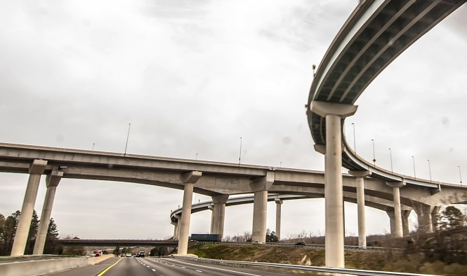
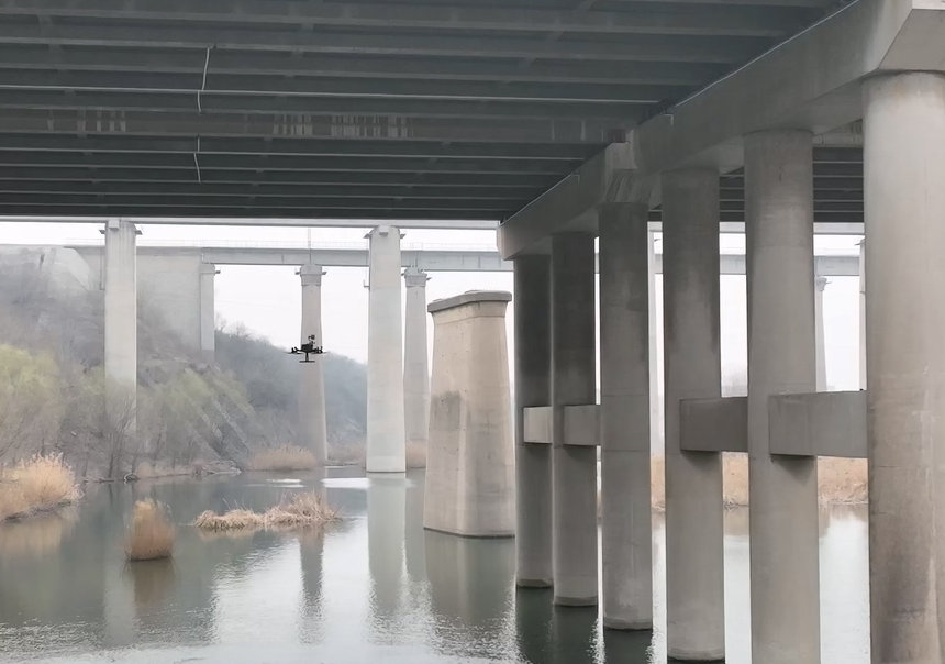
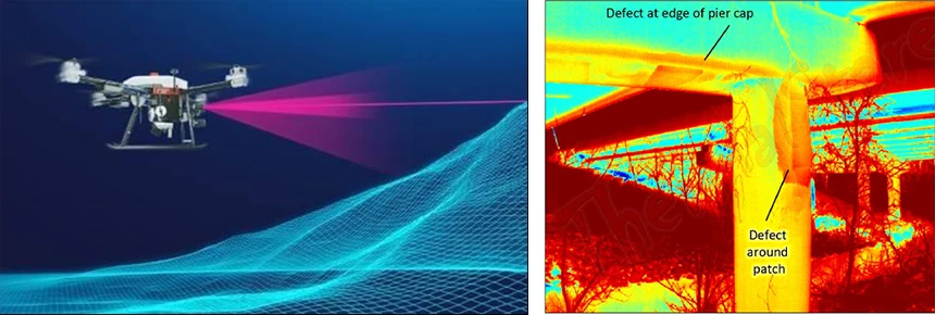
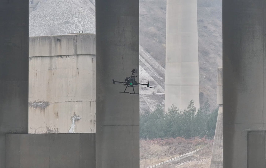
Explore our urban-scale and large-area 3D modeling solution based on drones with oblique camera technology. Revolutionize mapping with high-resolution aerial imagery and accurate terrain data. Discover how our cutting-edge technology transforms urban planning and mapping processes.