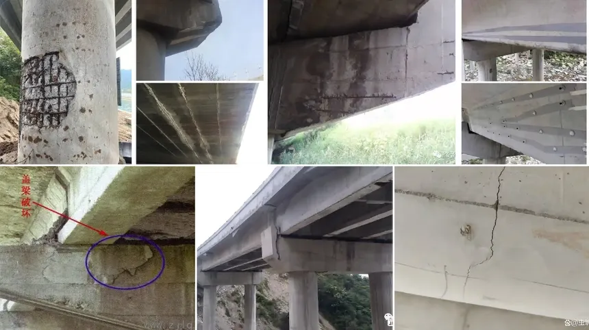
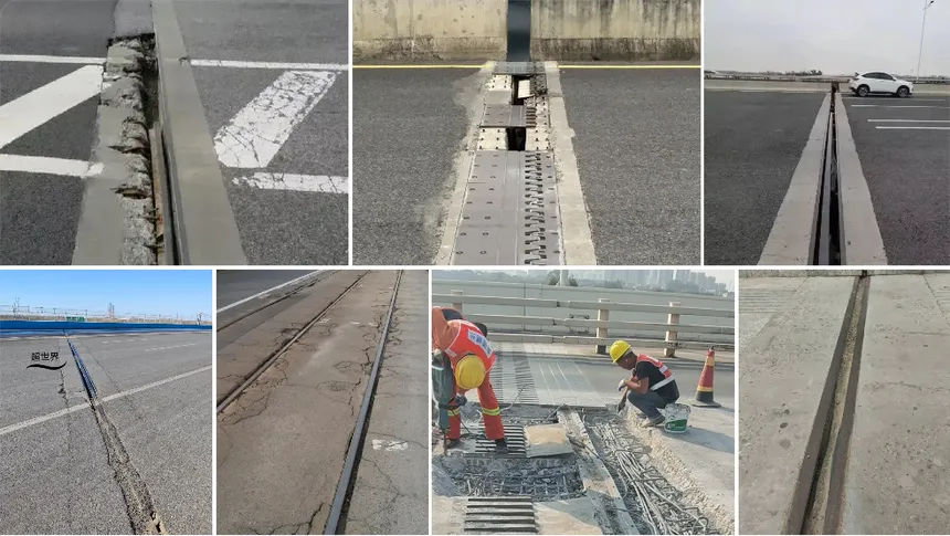
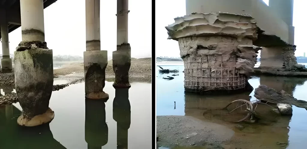
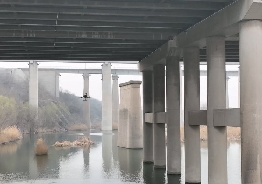
Traditional slope inspections rely heavily on manual field surveys to assess slope stability, yet such methods face numerous challenges: high safety risks, limited coverage due to poor accessibility, lengthy inspection cycles, and the potential to miss critical early signs of hazards. Moreover, these methods often lack informatization and digitalization, leading to delayed data recording and difficulty in conducting systematic historical comparisons.
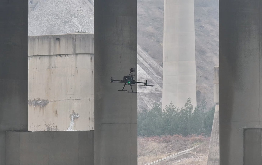
With the advancement of UAV technology and its widespread application in the low-altitude economy, drone-based slope monitoring has emerged as a new and efficient solution. UAVs can be quickly deployed to target areas and capture ultra-high-resolution aerial images. Supported by intelligent analysis systems, they can accurately detect anomalies such as cracks, subsidence, and deformations—enabling early warnings and timely mitigation actions. This approach not only improves inspection efficiency and reduces labor costs but also extends operational coverage, enhancing the effectiveness and timeliness of slope safety monitoring.
1. Inspection Workflow
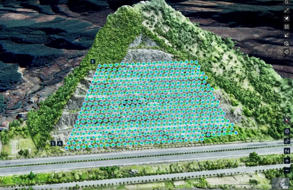
1.1 Flight Planning
In slope monitoring, traditional scene-level oblique photogrammetry is no longer sufficient for the required accuracy. Unlike general 3D modeling, slope inspection demands sub-centimeter-level precision, raising the bar for both data collection and processing.
To meet these demands, we adopt a “two-stage flight” strategy:
-
Stage 1: Based on field surveys, an initial coarse flight route is planned to cover the entire slope, capturing low-resolution imagery (centimeter-level) for generating a base model.
-
Stage 2: Using specialized flight planning software, refined flight paths are designed on top of the base model. These focus on critical zones such as crack zones or deformation areas. Combined with high-precision RTK positioning, this phase yields ultra-detailed 3D models with resolutions reaching the millimeter level.
1.2 Data Acquisition
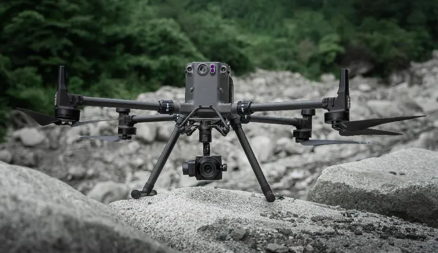
A high-resolution medium-format camera mounted on the drone captures slope imagery. Its image coverage is four times that of conventional APS-C cameras, significantly reducing data collection volume while boosting field efficiency. The entire field operation can be completed by a single person with one vehicle and one equipment set.
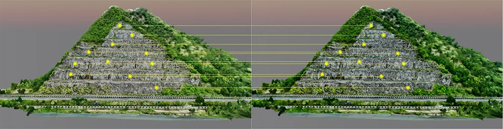
1.3 Historical Comparison
By periodically conducting UAV inspections, high-precision multi-temporal datasets are accumulated to build 3D models of the slope at different time intervals. These models are imported into the RIEBO Inspection Management Platform, where marked monitoring points are automatically compared to calculate displacements, settlement trends, and crack propagation. Once any change exceeds the defined threshold, the system evaluates the risk level and issues automatic alerts—providing a strong data foundation for decision-making.
2. Inspection System
2.1 High-Resolution Medium-Format Camera
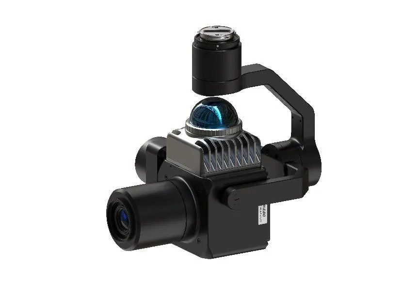
The SF10M2, developed by RIEBO, is a new-generation medium-format camera equipped with 100MP resolution and an ultra-telephoto lens. It integrates a laser rangefinder module, enabling clear and stable image capture across inspection scenarios. It addresses key pain points in high-resolution applications and significantly improves operational efficiency.
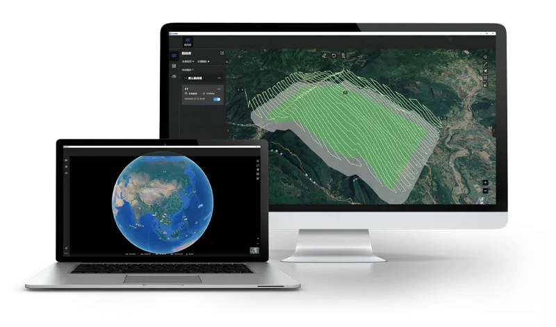
2.2 Flight Planning Software
Aeromappro is a smart UAV flight planning software that auto-generates flight routes based on user-defined waypoints and parameters. It supports one-click import of KML files and 3D models, model format conversion, global real-world satellite map displays, flight info statistics, and more. It also offers multiple flight route types such as grid, surround, terrain-following, concentric orbit, façade, and model-following—making it a versatile and intelligent planning platform for diverse inspection needs.
2.3 Inspection Management Platform
Current slope inspection processes suffer from low digitalization, poor data reuse, and inadequate oversight. Existing software often lacks integration and data interoperability.
To address this, RIEBO developed the Tongtu Smart Inspection Management System, offering a one-stop digital platform that integrates personnel management, data management, 3D visualization, historical displacement comparison, data analysis, and customized report generation. It enables full digital lifecycle management of inspection workflows.