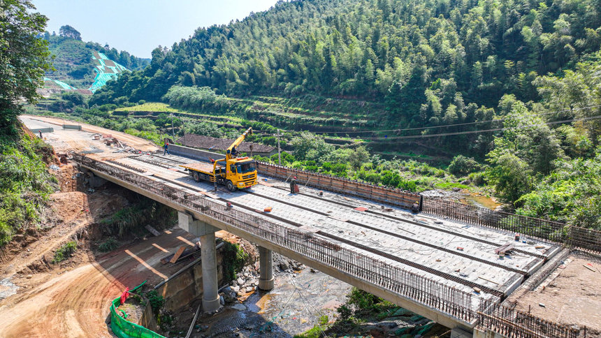
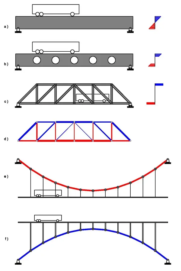
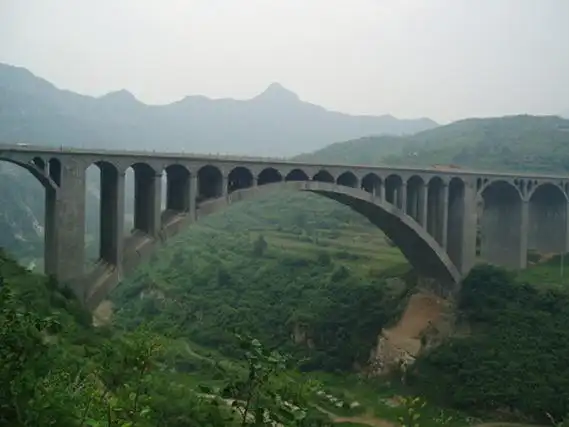
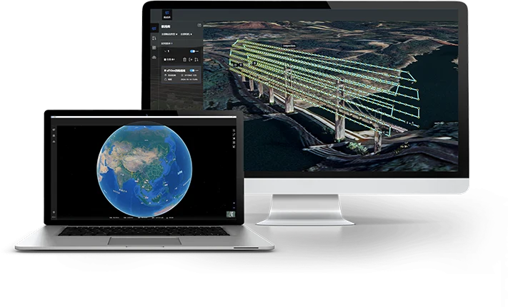
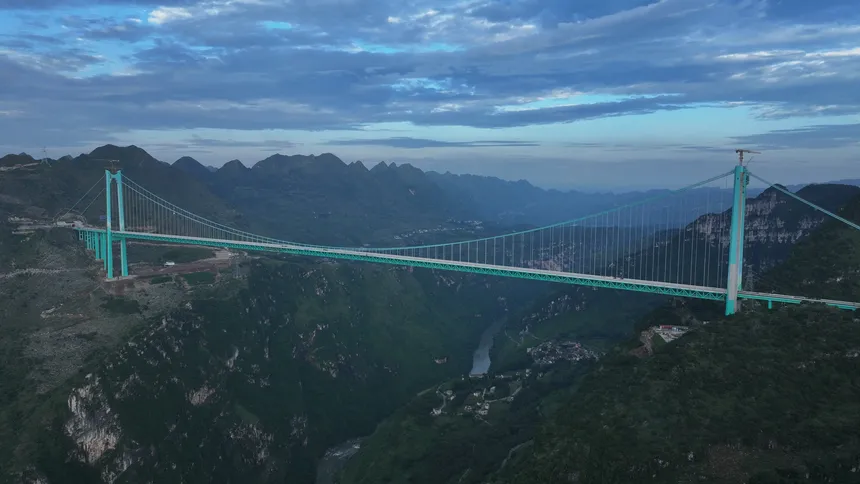
With the rise of drones and digital technologies, UAV-based bridge inspection has become a mainstream solution. However, one persistent challenge long restricted its application: the weak GNSS (Global Navigation Satellite System) signals beneath bridges, which made the underside of bridges a “dead zone” for UAV navigation. Today, through multi-sensor fusion and AI-driven innovation, this problem has been successfully overcome.
The GNSS Problem Under Bridges: A Navigation Dead Zone
Why does GNSS fail beneath bridges? The core reason lies in structural interference:
- The reinforced concrete and steel trusses of a bridge cause strong electromagnetic shielding. Satellite signals, instead of reaching the UAV directly, are reflected or diffracted, creating multipath interference.
- Metal structures attenuate the signal and may even cause cycle slips, where signal phases suddenly jump.
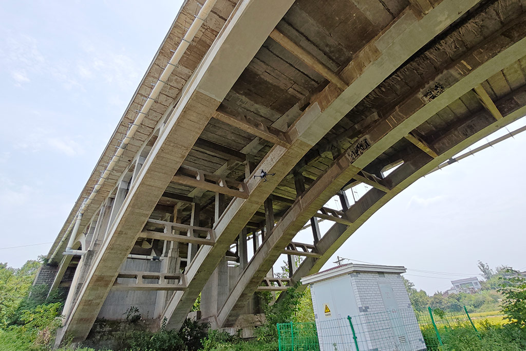
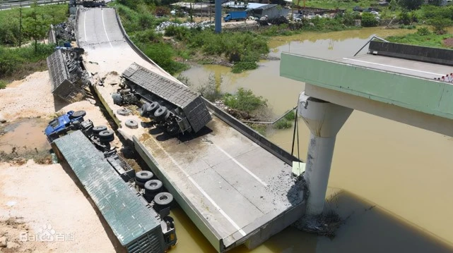
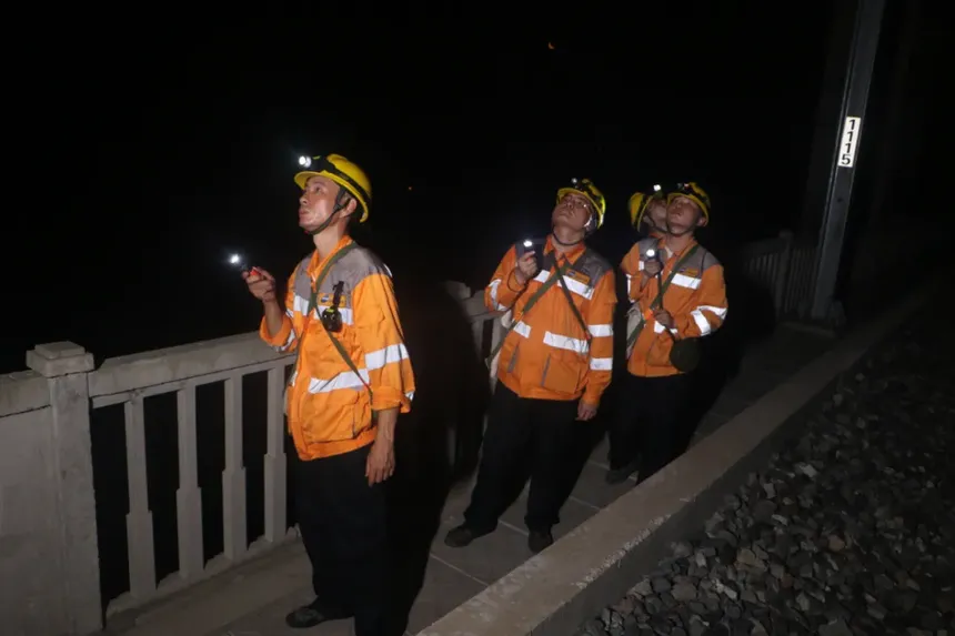
As a result, UAV navigation accuracy can drop from centimeter-level precision to errors of several meters. Worse, flight controllers may lose stable attitude solutions, causing UAVs to drift or crash into piers and beams. For years, this made under-bridge inspection impossible for drones, forcing engineers to rely on manual climbing.
Breaking the Deadlock: From Single-Sensor to Multi-Sensor Fusion
To overcome GNSS-denied conditions, researchers first experimented with single sensors, then advanced to multi-sensor fusion to achieve reliable centimeter-level accuracy.
(1) Single-sensor attempts: limited by their weaknesses
- Inertial Navigation Systems (INS): Like the UAV’s “inner ear,” INS works without external signals, but its errors accumulate over time, drifting from centimeters to meters in just minutes.
- Geomagnetic navigation: Uses magnetic “fingerprints” of the Earth to determine location. However, steel structures distort the magnetic field, making results unreliable.
- LiDAR navigation: Generates 3D maps of bridge structures for obstacle avoidance, but performance is affected by weather (rain/fog) and range limitations.
- Visual odometry (SLAM): Tracks visual features to estimate movement. Effective in good lighting, but fails in dark or shadowed bridge areas.
Each sensor had strengths, but none could handle all environments alone.
(2) Core breakthrough: Multi-sensor fusion
The solution came with multi-source heterogeneous data fusion. By integrating MEMS INS, geomagnetic fingerprints, solid-state LiDAR, and visual SLAM, researchers created an AI-driven navigation system. Using multi-scale feature extraction and adaptive weighting, the system achieves centimeter-level accuracy with 99.9% reliability.
This collaborative approach ensures:
- INS provides baseline stability when signals fluctuate.
- Geomagnetic fingerprints enhance anti-interference near steel structures.
- LiDAR SLAM delivers high-precision 3D point clouds, enabling safe navigation in narrow bridge cavities.
- Visual SLAM continuously corrects drift, maintaining accuracy during long flights.
- Redundant sensors (barometers, ultrasonic sensors) provide backup safety.
This multi-technology synergy allows drones to operate independently of GNSS signals, enabling full under-bridge inspection for the first time.
From Dead Zone to Full Coverage: Efficiency and Cost Gains
With fusion navigation, drone bridge inspection achieved a quantum leap:
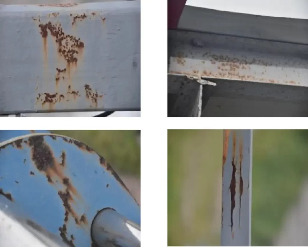
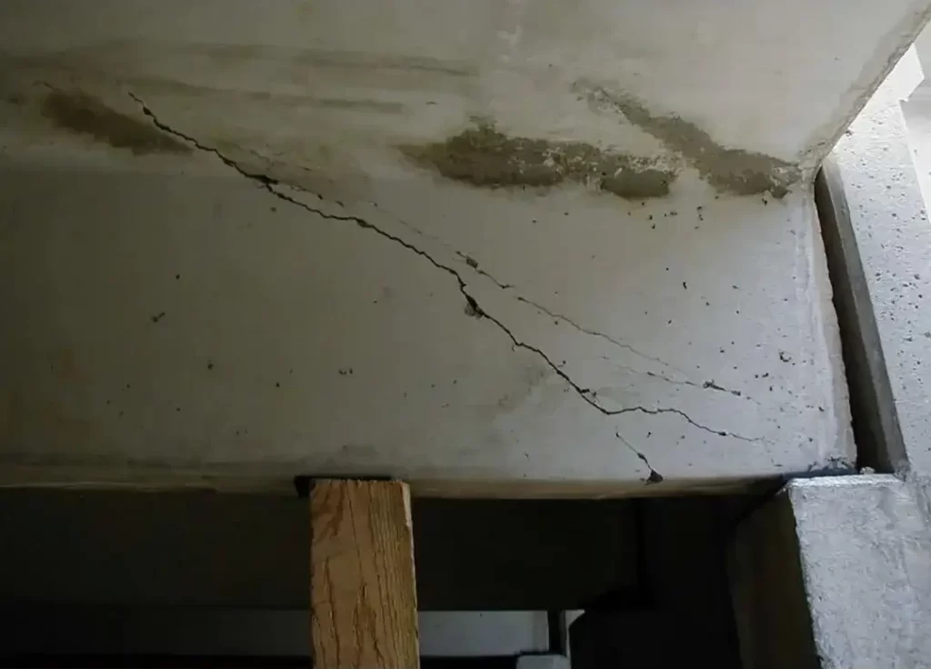
- Accuracy improved from meters to 0.1cm, allowing detection of cracks, corrosion, and hidden defects that were previously missed.
- Efficiency increased 5–8 times: What once took weeks of manual labor now takes 1–2 days with UAVs, without lane closures.
- Costs reduced by 40–60%, eliminating truck rentals, scaffolding, and safety risks.
Conclusion: Innovation Safeguards the “Lifeline of Transport”
The journey from GNSS-dependent “passive navigation” to multi-sensor active positioning represents a milestone in drone bridge inspection technology. Today, UAVs are not only removing blind spots under bridges but also evolving toward smart monitoring. Combined with digital twin technology, inspection data can build real-time 3D bridge models, predict defect progression, and support lifecycle management.
In the future, as AI algorithms advance and sensors become more compact, UAV bridge inspection will become even smarter and more autonomous. And the starting point of this transformation was overcoming the weak GNSS signal challenge—turning drones into true “guardians of bridge health,” ensuring safe travel for all.
If you are looking for a professional drone bridge inspection solution, RieboTech can provide an integrated service covering everything from flight platform selection and data acquisition to AI defect detection and digital twin management. Contact us today to make your railway bridge maintenance safer and more efficient.
