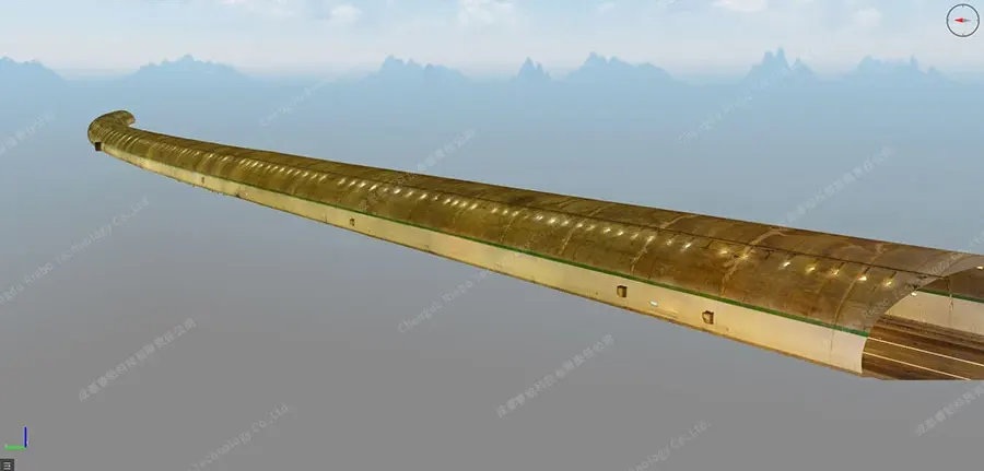
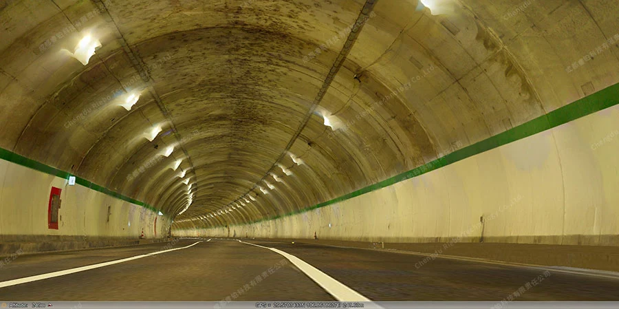
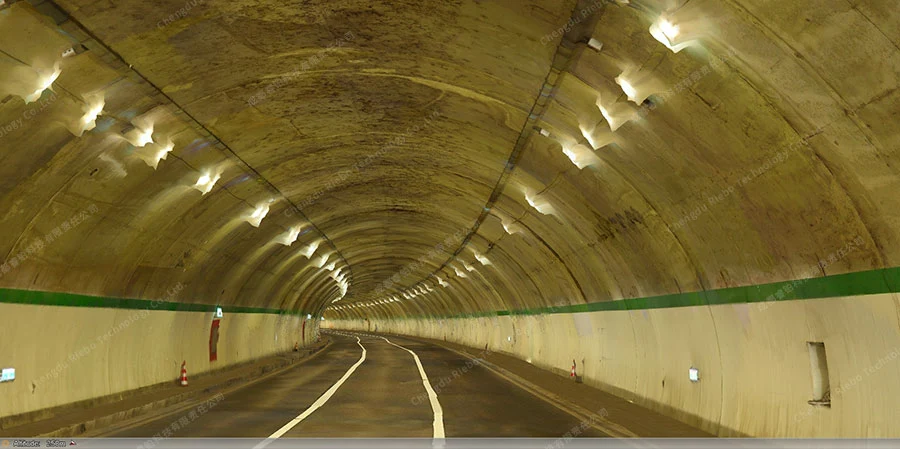
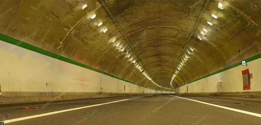
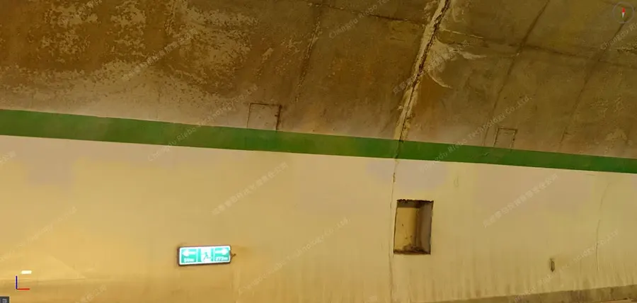
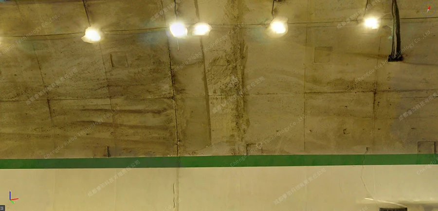
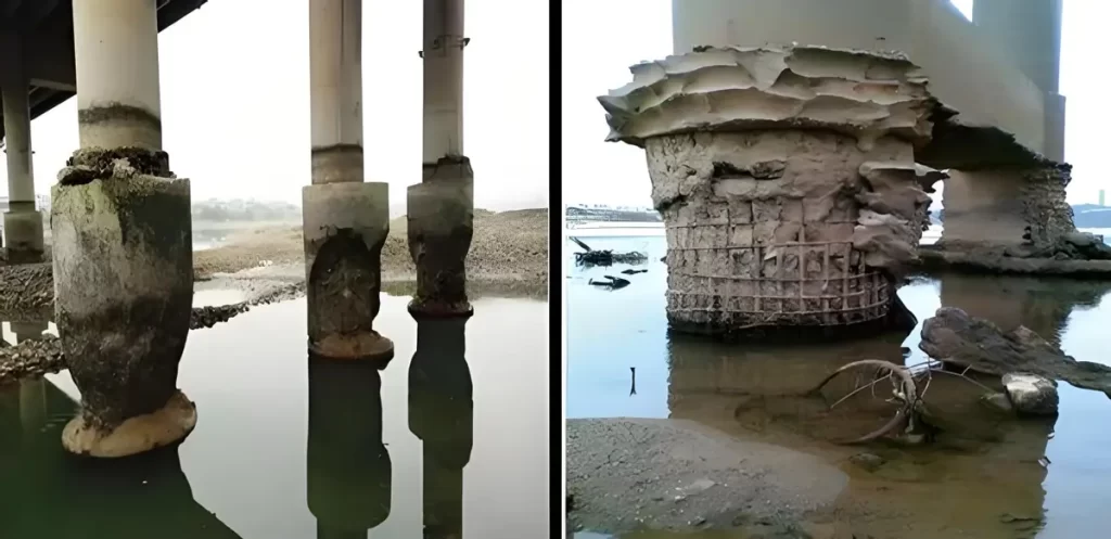
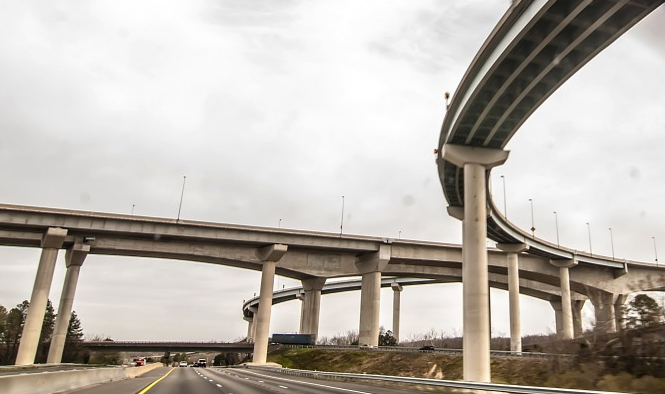
Explore our specialized 3D modeling solution designed for tunnels. Dive into the innovative technology that captures intricate tunnel structures, enhances maintenance strategies, and optimizes underground infrastructure planning. Discover how our cutting-edge solution revolutionizes the visualization, assessment, and management of tunnels, ensuring safety and efficiency in every aspect.
-
Oblique Photogrammetry Reshaping Rural Land Surveys
land surveys form the foundation for clarifying property ownership and safeguarding farmers’ rights. However, challenges such as wide survey coverage, scattered land features, and the low efficiency of manual measurements have long constrained progress. …
Case Studies09/17/2025 -
Oblique Photogrammetry for Urban Renewal: How Drone-Based 3D Mapping Transforms Land Acquisition Surveys
the wave of urban renewal, land acquisition and compensation surveys serve as a core step that determines both project efficiency and fairness. Traditional surveys rely on manual field measurements, which are not only time- and labor-intensive but also pron…
Case Studies09/16/2025 -
RIEBO DG4Pros Oblique Photogrammetry Camera for High-Precision Urban Cadastral Surveys and Smart City Development
urban planning, land management, and smart city development, cadastral surveys are the foundation for acquiring core information such as land ownership, boundaries, and area. The accuracy of these results directly determines the scientific validity and lega…
Case Studies09/10/2025 -
Oblique Photogrammetry for Digital Land Acquisition Management: How RIEBO Drone Mapping Cameras Transform Demolition Projects
traditional land acquisition and demolition projects, evaluations often rely on 2D drawings or conventional surveying methods. These approaches suffer from outdated information, limited visualization, and difficulties in data integration—making it challengi…
Case Studies09/10/2025 -
Oblique Photography Technology in Environmental Restoration: 3D Mapping for Ecological Landform Recovery
the field of environmental restoration, accurately capturing topography and landform information is the foundation for all subsequent work. Traditional surveying methods often struggle with low efficiency, limited accuracy, and a lack of intuitive data pres…
Case Studies09/02/2025