- All
- Inspection
- Mapping & Surveying
-
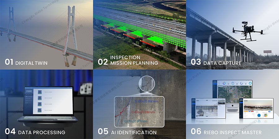
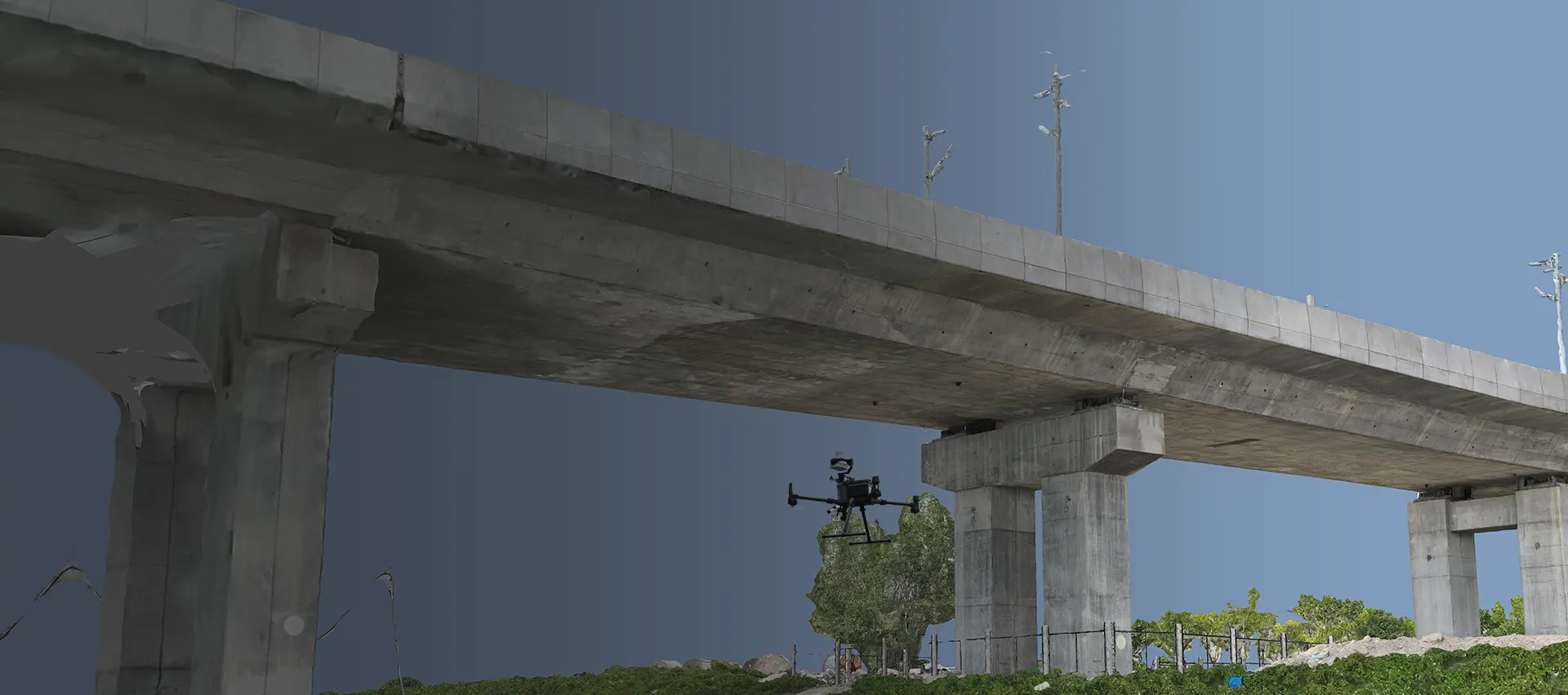
Bridge Inspection Solution
Discover drone-based bridge inspection solution integrates cutting-edge imaging technology, AI-powered analysis, and digital twin models to tackle inspection challenges.
Learn more > -
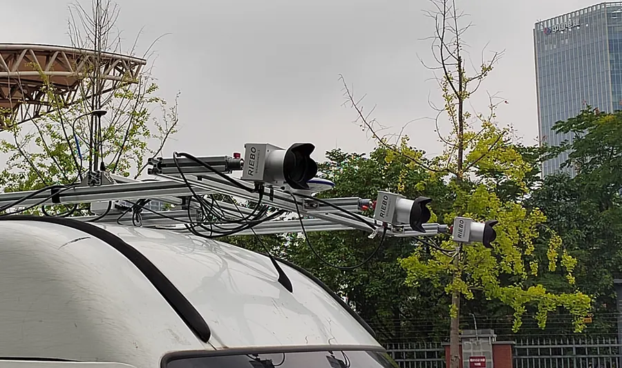
Road Inspection Solution
Discover RIEBO's Road Inspection Solution – an advanced, AI-driven system for efficient and accurate road condition assessments. Explore its innovative features, from automated
Learn more > -
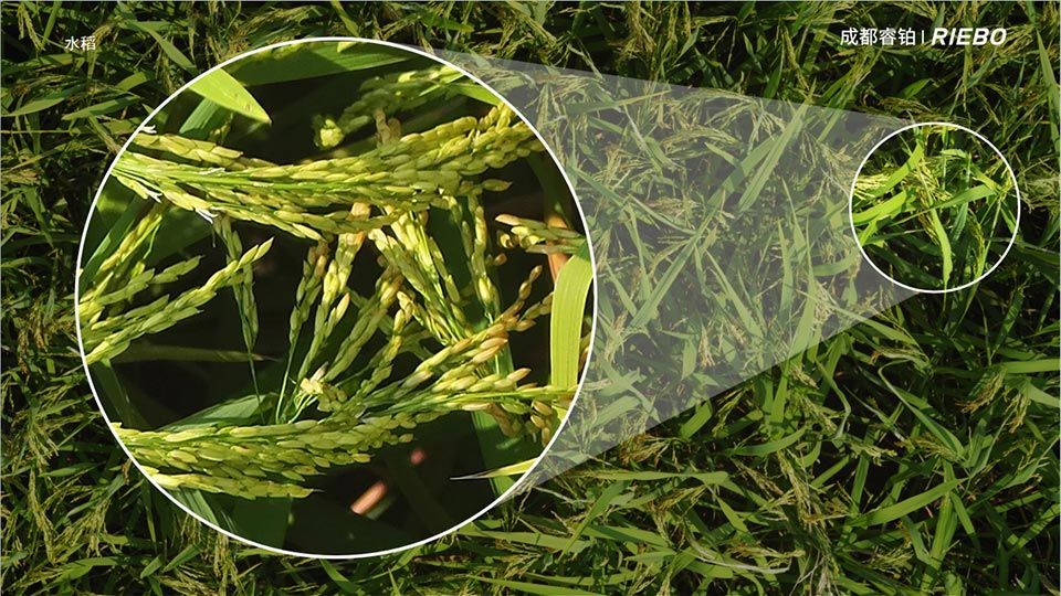
Agricultural Remote Sensing Program
Discover RIEBO's Ultra-High Resolution Precision Agricultural Remote Sensing Program, designed to revolutionize modern farming.
Learn more > -
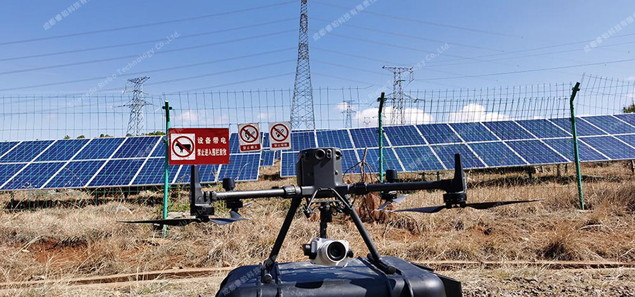
Electroluminescence (EL) Inspection Solution
At the forefront of solar panel inspection technology, Riebo introduces its EL Inspection System. This cutting-edge solution offers rapid, high-resolution component detail analysis, ensuring the safet
Learn more > -
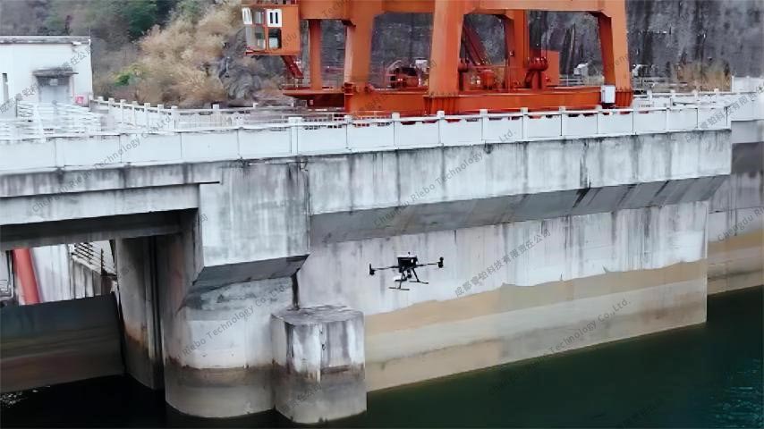
Dam Inspection Solution
RIEBO's Dam Inspection Solution offers a cutting-edge solution for precise dam monitoring. Leveraging drone technology and advanced imaging systems, it provides detailed structural analysis, early
Learn more > -
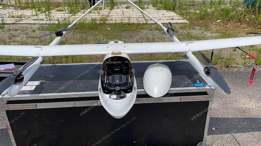
Urban-Scale Large-Area 3D Modeling Solution
Explore our urban-scale and large-area 3D modeling solution based on drones with oblique camera technology. Revolutionize mapping with high-resolution aerial imagery and accurate terrain data.
Learn more > -
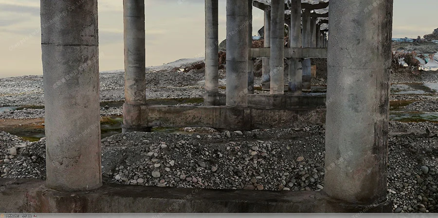
3D Modeling Solution for Bridges
Explore our advanced 3D modeling solution tailored for bridges. Uncover the transformative capabilities of our technology in capturing detailed structures, enhancing bridge maintenance, and optimizing infrastructure planning.
Learn more > -
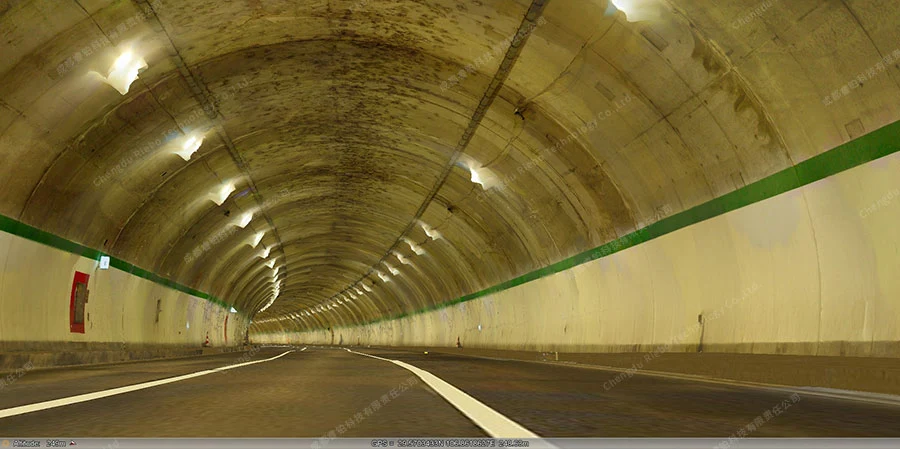
3D Modeling Solution for Tunnels
Explore our specialized 3D modeling solution designed for tunnels. Dive into the innovative technology that captures intricate tunnel structures, enhances maintenance strategies, and optimizes underground infrastructure planning.
Learn more > -
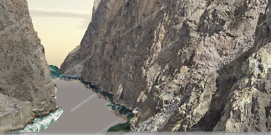
Efficient 3D Modeling Solution for Long and Narrow Scenes
Discover our efficient 3D modeling solution tailored for river channels and pipelines. Explore the cutting-edge technology that captures detailed topography, optimizes watercourse management, and enhances pipeline infrastructure planning.
Learn more > -
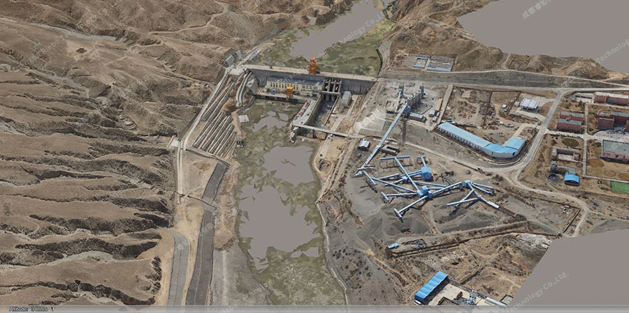
High-Resolution Close-Range Photogrammetric Solution for Dams
Explore our high-resolution close-range photogrammetric solution tailored for dams. Unlock the power of detailed imagery to assess dam structures, optimize maintenance, and enhance infrastructure planning.
Learn more > -
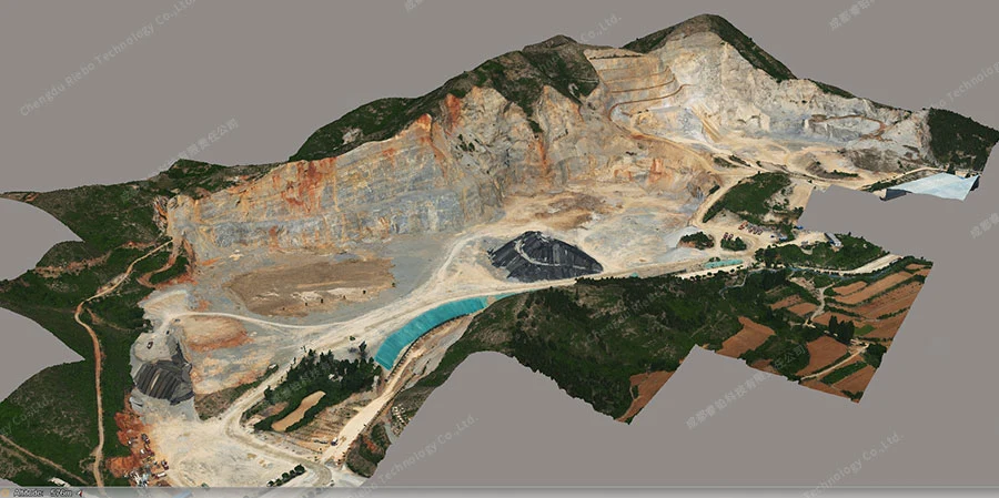
High-Resolution Close-Range Photogrammetric Solution for Slope Rock Masses
Discover our high-resolution close-range photogrammetric solution designed for slope rock masses. Harness the precision of detailed imagery to assess rock structures, improve slope stability analysis, and optimize geological planning.
Learn more > -
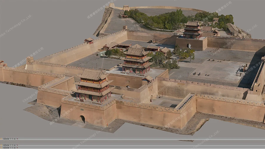
Photogrammetric Solution for Ancient Buildings
Uncover our photogrammetric solution tailored for ancient buildings. Journey into the past with detailed imagery to assess historical structures, support preservation efforts, and enhance architectural documentation.
Learn more >
-

Bridge Inspection Solution
Discover drone-based bridge inspection solution integrates cutting-edge imaging technology, AI-powered analysis, and digital twin models to tackle inspection challenges.
Learn more > -

Road Inspection Solution
Discover RIEBO's Road Inspection Solution – an advanced, AI-driven system for efficient and accurate road condition assessments. Explore its innovative features, from automated
Learn more > -

Agricultural Remote Sensing Program
Discover RIEBO's Ultra-High Resolution Precision Agricultural Remote Sensing Program, designed to revolutionize modern farming.
Learn more > -

Electroluminescence (EL) Inspection Solution
At the forefront of solar panel inspection technology, Riebo introduces its EL Inspection System. This cutting-edge solution offers rapid, high-resolution component detail analysis, ensuring the safet
Learn more > -

Dam Inspection Solution
RIEBO's Dam Inspection Solution offers a cutting-edge solution for precise dam monitoring. Leveraging drone technology and advanced imaging systems, it provides detailed structural analysis, early
Learn more >
-

Urban-Scale Large-Area 3D Modeling Solution
Explore our urban-scale and large-area 3D modeling solution based on drones with oblique camera technology. Revolutionize mapping with high-resolution aerial imagery and accurate terrain data.
Learn more > -

3D Modeling Solution for Bridges
Explore our advanced 3D modeling solution tailored for bridges. Uncover the transformative capabilities of our technology in capturing detailed structures, enhancing bridge maintenance, and optimizing infrastructure planning.
Learn more > -

3D Modeling Solution for Tunnels
Explore our specialized 3D modeling solution designed for tunnels. Dive into the innovative technology that captures intricate tunnel structures, enhances maintenance strategies, and optimizes underground infrastructure planning.
Learn more > -

Efficient 3D Modeling Solution for Long and Narrow Scenes
Discover our efficient 3D modeling solution tailored for river channels and pipelines. Explore the cutting-edge technology that captures detailed topography, optimizes watercourse management, and enhances pipeline infrastructure planning.
Learn more > -

High-Resolution Close-Range Photogrammetric Solution for Dams
Explore our high-resolution close-range photogrammetric solution tailored for dams. Unlock the power of detailed imagery to assess dam structures, optimize maintenance, and enhance infrastructure planning.
Learn more > -

High-Resolution Close-Range Photogrammetric Solution for Slope Rock Masses
Discover our high-resolution close-range photogrammetric solution designed for slope rock masses. Harness the precision of detailed imagery to assess rock structures, improve slope stability analysis, and optimize geological planning.
Learn more > -

Photogrammetric Solution for Ancient Buildings
Uncover our photogrammetric solution tailored for ancient buildings. Journey into the past with detailed imagery to assess historical structures, support preservation efforts, and enhance architectural documentation.
Learn more >
