RPX High-Precision Inertial Navigation System
Contact Us Now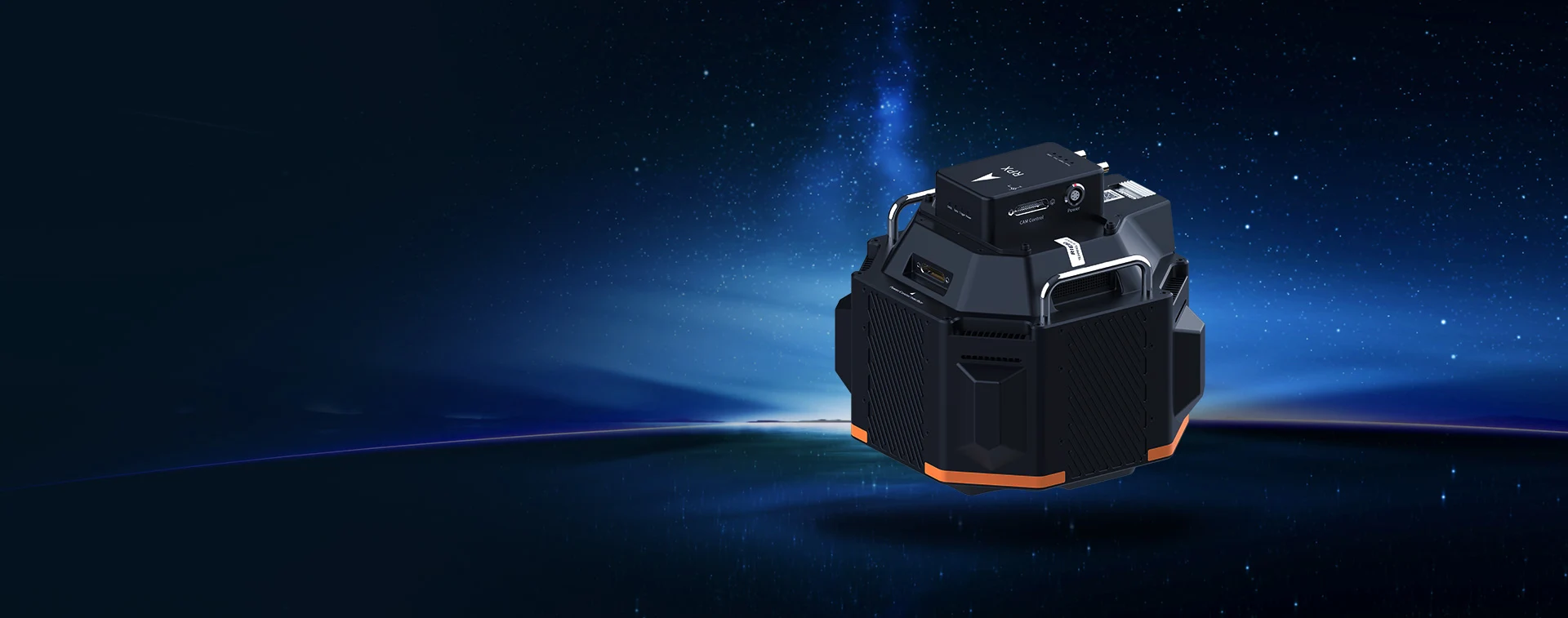
RPX
High-Precision Inertial Navigation System
Riebo RPX is an inertial navigation module developed by Riebo for large-area high-precision aerial surveying. It is designed to enhance the modeling accuracy of aerial survey cameras, reduce or eliminate ground control points, and improve operational efficiency. The system consists of a high-precision GNSS receiver, inertial sensors, and post-processing differential software.
CAMERA TECHNOLOGY
ANALYSIS
Explore “Mapping Camera TechHub” by RieboTech and discover the latest in high-precision mapping camera technology. We provide advanced aerial mapping solutions to help you capture high-resolution data and enhance survey efficiency. Visit the page to see how our innovative products perform in extreme environments and enable accurate geospatial data collection. Start exploring now and unlock new possibilities in precision mapping!
Mapping Camera TechHub →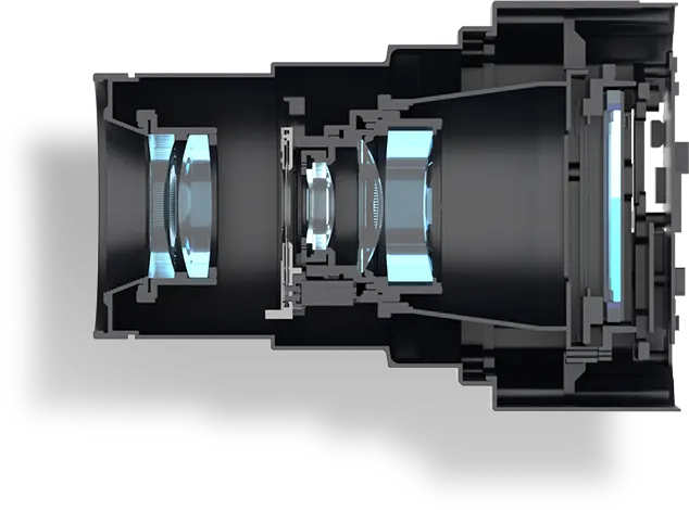
TECHNICAL SPECIFICATIONS
-
Dimensions
93.5mm*65mm*29.3mm
-
Weight
150g
-
Voltage Range
DC9~30V
-
Power Consumption
4.5w
-
Number of Antennas
2
-
Max Event Input Frequency
50Hz
-
Minimum Signal Strength
32dB
-
Operating Temperature
-40°C~75°C
-
Storage Temperature
-55°C~85°C
-
Operating Humidity
5%~95% non-condensing
-
Speed Limit
515m/s
-
Altitude Limit
18000m
-
Position
2~5cm
-
Roll & Pitch
0.025°
-
Heading
0.08°
- High-precision direct georeferencing for accurate mapping, reducing/eliminating ground control points;
- Highly compact and compatible with Riebo DAC aerial cameras;
- Position compensation algorithm for precise GNSS antenna-to-camera center coordinate mapping;
- Riebo post-processing software with one-click computation;
- Supports BeiDou-only satellite computation mode;
- Supports multi-base station computation;
- Supports device status monitoring via mobile mini-program and app;
- Supports geofencing functionality;
- Supports isochronous and equidistant photo trigger output;