DAC10 Riebo Digital Aerial Camera
Contact Us Now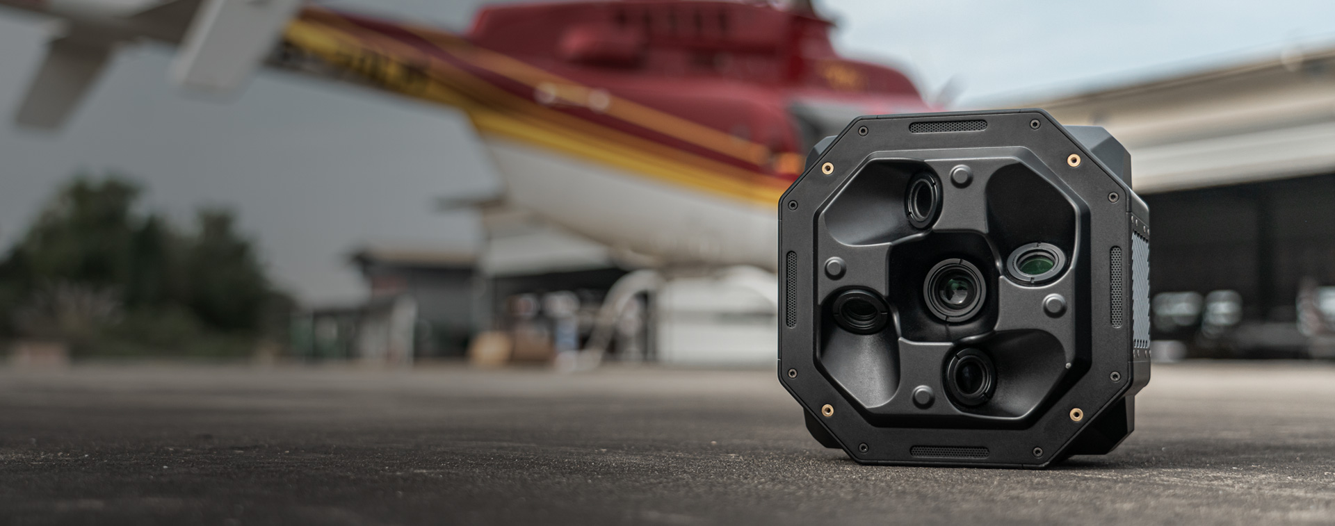
DAC10
Riebo Digital Aerial Camera
CAMERA TECHNOLOGY
ANALYSIS
Explore “Mapping Camera TechHub” by RieboTech and discover the latest in high-precision mapping camera technology. We provide advanced aerial mapping solutions to help you capture high-resolution data and enhance survey efficiency. Visit the page to see how our innovative products perform in extreme environments and enable accurate geospatial data collection. Start exploring now and unlock new possibilities in precision mapping!
Mapping Camera TechHub →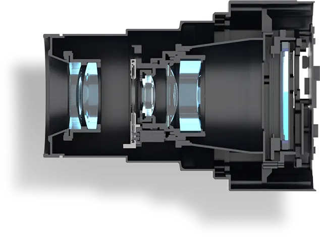
TECHNICAL SPECIFICATIONS
Basic Parameters
-
Total Pixels
510MP
-
Sensor Size
43.8*32.8mm
-
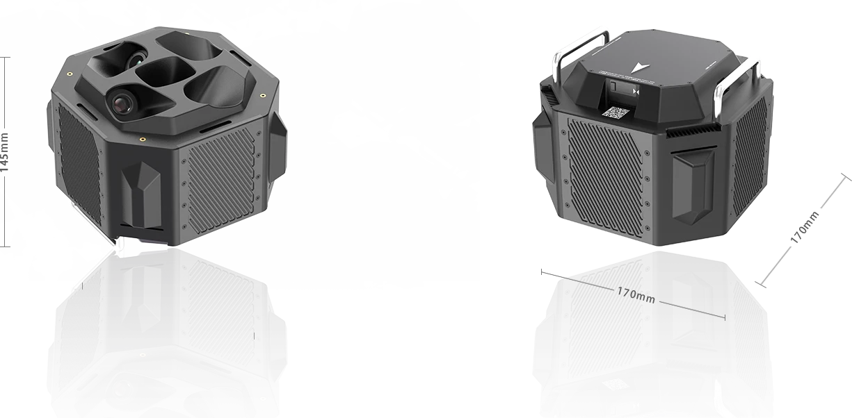
Dimension
170*170*145mm
-
Focal Length
50/75mm
-
FOV (Horizontal)
47°/33°
-
FOV (Vertical)
36°/25°
-
Data Transfer Mode
External High-speed Module
-
Exposure Feedback Accuracy
10μs
-
Video Transmission
4K & 1080P@30fps (5 channels)