How to Use Riebo R10Pros:Aerial Survey, Camera Settings & Data Processing for Beginners
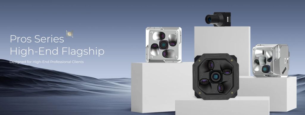
🔥 Unlock Professional Drone Mapping with Riebo R10Pros! In this video, we’ll show you how to master the Riebo R10Pros medium-format orthophoto camera for high-efficiency surveying. Perfect for GIS, 3D modeling, and land management! What You’ll Learn: ✅ Step-by-step flight planning with AeroMap Pro & DJI Pilot ✅ Camera mounting, settings, and real-time monitoring on DJI M300 RTK ✅ Data download & processing in Context Capture, DJI Terra, and PIX4D ✅ Pro tips for multi-drone compatibility and error troubleshooting ✨ Key Features: No Preprocessing: Direct geotagged data with RTK/POS Real-Time Mapping: Instant photo transfer for on-site modeling Adaptable: Works with DJI, fixed-wing, and other drones
Related Posts
-
RIEBO Oblique Photography Cameras: Design Logic Behind Parameters and Their Impact on Modeling Effects
-
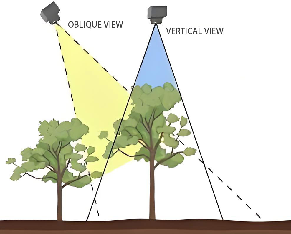
What Is Oblique Photography? A Simple Guide
-
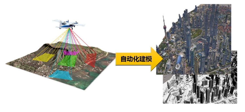
Technical Advantages and Application Principles of Five-Lens Oblique Photogrammetry Cameras
-

Causes and Solutions for Speckle in Oblique Photography Models