Drone oblique photography has become one of the most valuable tools in modern surveying, mapping, and 3D modeling. By capturing images at multiple angles, drones provide highly detailed data for city planning, construction monitoring, digital twin modeling, and infrastructure inspection. However, UAV operations—especially in oblique aerial surveys—come with inherent risks. Equipment malfunctions, environmental challenges, and operational errors can lead to UAV accidents, resulting in data loss, financial costs, or even safety hazards.
This article explores 8 common UAV accidents in drone oblique photography, their main causes, and practical solutions. By understanding these risks and implementing safety strategies, operators can ensure smoother workflows and more reliable results in oblique aerial surveys.
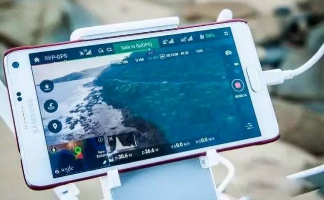
1. GPS Signal Loss in Oblique Aerial Surveys
One of the most frequent challenges in drone oblique photography is GPS signal interference or complete loss, especially when flying near bridges, tall buildings, or under overpasses.
Causes
- Flying in GNSS-challenging environments (urban canyons, under bridges).
- Electromagnetic interference from surrounding infrastructure.
- Poor satellite visibility due to weather conditions.
Solutions
- Use drones equipped with RTK/PPK positioning to maintain centimeter-level accuracy even in weak GPS areas.
- Plan flight paths carefully, avoiding signal-blocking zones when possible.
- Enable fail-safe return-to-home (RTH) functions in case of GPS loss.
- RIEBO’s high-precision inertial navigation system adopts multi-source data fusion, integrating a high-accuracy GNSS receiver, high-performance inertial sensors, and post-mission differential software.
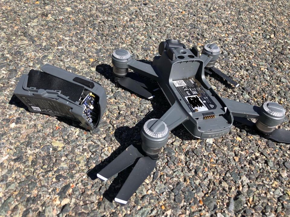
2. UAV Battery Failure During Oblique Photography Flights
Battery malfunction or sudden power drop is a major risk in long-duration flights.
Causes
- Overuse or poor maintenance of batteries.
- Extreme temperatures affecting battery life.
- Inadequate pre-flight charging or monitoring.
Solutions
- Always use manufacturer-approved batteries and monitor battery health.
- Follow strict charging and storage protocols.
- For long missions, prepare spare batteries and adopt smart power management systems.
3. Propeller and Motor Malfunctions
Drone propellers and motors are the most exposed and vulnerable parts during oblique aerial surveys.
Causes
- Mechanical wear and tear.
- Collisions with obstacles during takeoff, landing, or low-altitude flights.
- Dust, sand, or water entering the motor.
Solutions
- Conduct pre-flight inspections on all propellers and motors.
- Replace worn-out components in time.
- Use propeller guards in high-risk environments.
4. Drone Communication Interruption with Ground Station
Stable communication between UAV and ground station is essential for safe flights.
Causes
- Signal interference in urban areas.
- Exceeding transmission range.
- Hardware or firmware issues.
Solutions
- Avoid flying near strong radio interference sources.
- Use high-gain antennas and keep within line-of-sight.
- Update firmware regularly to reduce software bugs.
5. UAV Camera or Gimbal Failure in Oblique Photography
The success of oblique aerial surveys depends on stable and high-resolution imaging.
Causes
- Overheating of gimbal motors.
- Loose connections or calibration errors.
- Mechanical shocks during transport or flight.
Solutions
- Calibrate the gimbal before each mission.
- Protect equipment during transport.
- Use vibration dampers to ensure image stability.
6. Flight Path Deviation Due to Strong Wind or Weather
Adverse weather is one of the leading causes of UAV accidents during oblique photography missions.
Causes
- Strong wind pushing the drone off its planned route.
- Sudden weather changes, such as rain or fog.
- Low temperatures reducing battery efficiency.
Solutions
- Check real-time weather forecasts before flights.
- Set wind resistance parameters in flight planning software.
- Avoid flights in unstable weather conditions.
7. Data Storage and Transmission Errors in UAV Surveys
Even if the flight is successful, data loss can occur during oblique aerial surveys.
Causes
- Faulty SD cards or storage devices.
- Incomplete transmission from UAV to ground station.
- Lack of data redundancy.
Solutions
- Use high-quality storage media and replace them regularly.
- Enable dual recording when available.
- Back up data immediately after each mission.
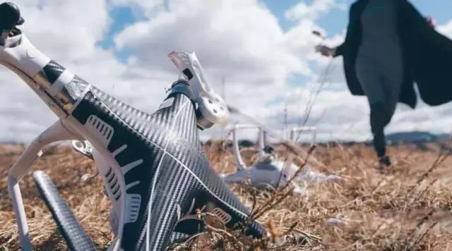
8. Unexpected UAV Crashes and Emergency Handling
Despite all precautions, unexpected crashes may still occur.
Causes
- Pilot error due to lack of training.
- Software glitches or hardware failures.
- Sudden bird strikes or foreign object interference.
Solutions
- Train operators with UAV emergency protocols.
- Always fly with an established emergency landing zone.
- Keep drones regularly serviced and upgraded.
Safety Guidelines for Drone Oblique Photography
To minimize UAV accidents, operators should follow best practices:
- Perform comprehensive pre-flight inspections.
- Establish standard operating procedures (SOPs) for oblique aerial surveys.
- Maintain detailed flight logs for continuous improvement.
- Train pilots to handle both routine operations and emergencies.
Modern Technologies Supporting Safer UAV Operations
Recent advances in UAV technology provide more safeguards for oblique photography:
- RTK/PPK positioning systems for precise navigation.
- AI-driven flight planning for obstacle avoidance.
- Real-time telemetry and monitoring to detect anomalies.
- Cloud-based data storage for secure backups.
These innovations not only reduce the risk of UAV accidents but also enhance the efficiency of oblique aerial surveys.
Conclusion
Drone oblique photography plays a vital role in modern surveying and 3D modeling, but UAV accidents remain a real risk without proper planning and equipment management. By understanding common problems—such as GPS loss, battery failure, or communication breakdowns—and applying the right solutions, operators can significantly improve both safety and data quality.
Looking for a reliable drone solution for oblique photography and aerial surveying?
Riebo offers professional UAV equipment, inspection systems, and technical support to help you conduct safe and accurate oblique aerial surveys. Contact us today to learn more about our end-to-end solutions.