INTRODUCTION
INTRODUCTIONPerfect Balance of Performance and Compatibility
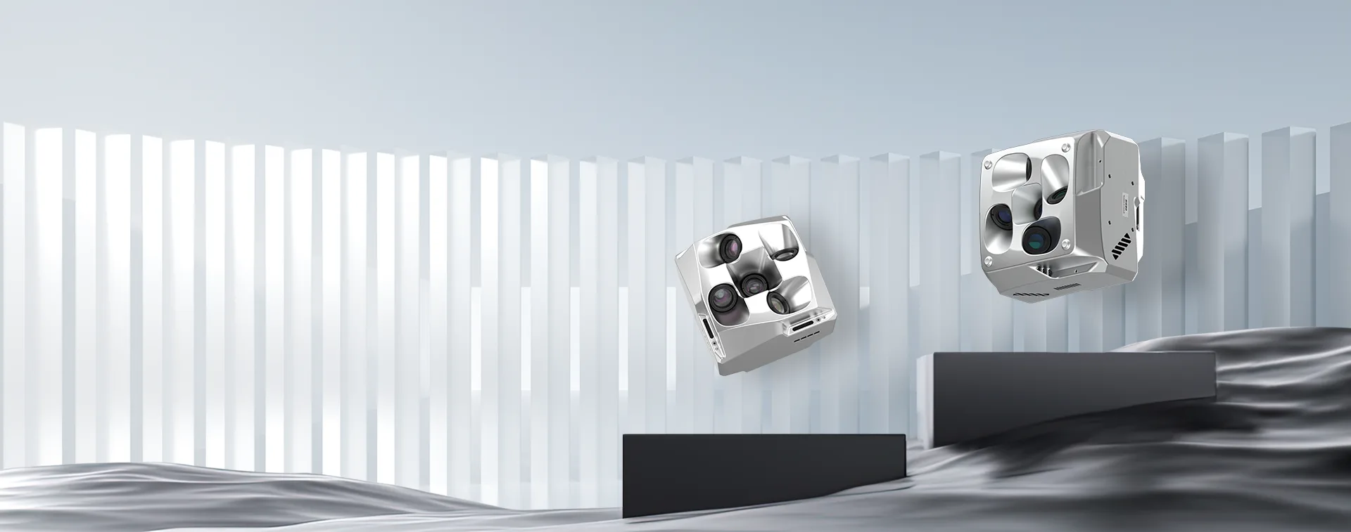
It offers outstanding environmental adaptability and urban 3D modeling, striving for the best model effects.
Perfectly suited for urban modeling with multi-rotor platforms.
It achieves outstanding model effects, faithfully reproducing fine details. Lightweight and flexible, it captures every aspect of the city.
Ideal for surveying scenes with VTOL fixed-wing aircraft.
It prioritizes efficiency, rapidly covering extensive areas with precision measurements that ensure accurate and reliable data.
Riebo P Series, where performance meets compatibility.
Whether for urban modeling or surveying scenes, it meets your professional needs, showcasing exceptional performance.
- SERIES COMPARISON -
- Applications
- Payload
- High-performance Chip
- Image Quality
- Wide Dynamic Range/Performance
- High ISO Noise Reduction
- Modeling Effect
- Triggering Speed
- Maximum Photo Capacity with Full Encoding
- Lens Layout
- Brightness Calibration
- Emergency Real-time Modeling
- P
- Mapping
Smart City - VTOL
- q
- rrrrr
- rrrrr
- rrrrr
- rrrrr
- sssss
- 1MB/MPIX
- Parallel
- L
- L
- M Explore M Series
- Mapping
- VTOL/Multi-rotor
- M
- rrr
- rr
- rrr
- rrr
- sssss
- 0.57MB/MPIX
- Surround
- M
- M
- CAMERA TECHNOLOGY ANALYSIS -
Explore “Mapping Camera TechHub” by RieboTech and discover the latest in high-precision mapping camera technology. We provide advanced aerial mapping solutions to help you capture high-resolution data and enhance survey efficiency. Visit the page to see how our innovative products perform in extreme environments and enable accurate geospatial data collection. Start exploring now and unlock new possibilities in precision mapping!


