Riebo Camera Solutions
for Aerial Mapping
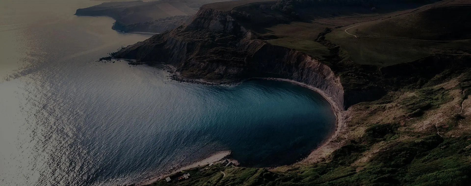
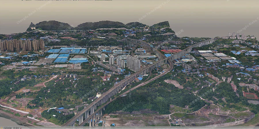
Advanced Survey and Aerial Imaging with Drones

INTRODUCTION
INTRODUCTIONRiebo is proud to unveil the latest Pros/P/M Mapping Camera Series, featuring groundbreaking chip upgrades designed to elevate performance and precision in aerial surveying and urban modeling. Learn more about these cutting-edge solutions tailored for professionals and surveyors.
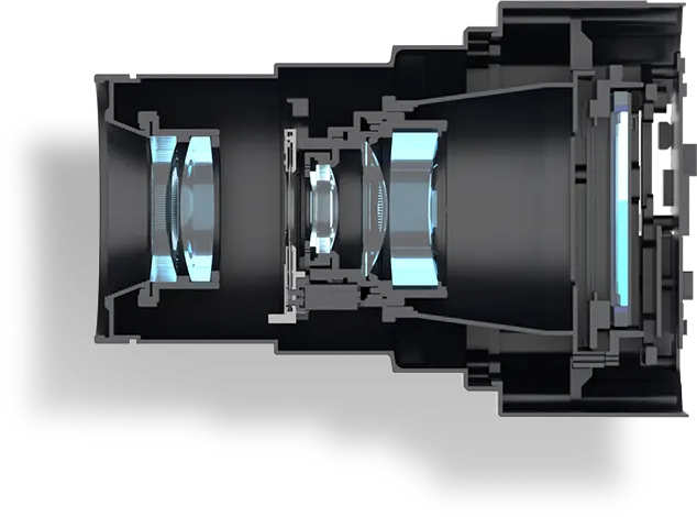
Pros Series | High-End Flagship
Designed for high-end professional clients, it is equipped with a multi-core processor and state-of-the-art image processing algorithms, making it an excellent companion for various drone platforms.
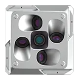
P Series | Performance Selection
With a perfect balance of performance and compatibility, it is perfectly suited for urban modeling with multi-rotor platforms and ideal for surveying scenes with VTOL fixed-wing aircraft.
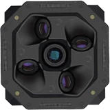
M Series | Surveying Essentials
Basic oblique mapping cameras are a perfect choice for surveying beginners, compatible with various drone platforms, and designed for easy mounting and user-friendly operation to efficiently collect oblique surveying data.

CAMERA SERIES
CAMERA SERIES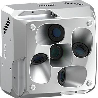
- SERIES COMPARISON -
- Applications
- Payload
- High-performance Chip
- Image Quality
- Wide Dynamic Range/Performance
- High ISO Noise Reduction
- Modeling Effect
- Triggering Speed
- Maximum Photo Capacity with Full Encoding
- Lens Layout
- Brightness Calibration
- Emergency Real-time Modeling
- Pros
- Mapping
Smart City - VTOL
- q
- rrrrr
- rrrrr
- rrrrr
- rrrrr
- sssss
- 1MB/MPIX
- Parallel
- L
- L
- P
- Mapping
- VTOL/Multi-rotor
- t
- rrrr
-
3D Reconstruction:rrrrrOblique Photogrammetry:rr
-
3D Reconstruction:rrrrrOblique Photogrammetry:rr
- rrrr
-
3D Reconstruction:ssOblique Photogrammetry:ssss
- 0.77MB/MPIX
- Parallel
- L
- M
- M
- Mapping
- VTOL/Multi-rotor
- M
- rrr
- rr
- rrr
- rrr
- sssss
- 0.57MB/MPIX
- Surround
- M
- M
- CAMERA TECHNOLOGY ANALYSIS -
Explore “Mapping Camera TechHub” by RieboTech and discover the latest in high-precision mapping camera technology. We provide advanced aerial mapping solutions to help you capture high-resolution data and enhance survey efficiency. Visit the page to see how our innovative products perform in extreme environments and enable accurate geospatial data collection. Start exploring now and unlock new possibilities in precision mapping!
SOFTWARE: AeroMap Pro
SOFTWARE: AeroMap ProAeroMap Pro, exclusively developed by Riebo, is a professional aerial survey route planning software. It offers various flight routes tailored to different scenarios, providing fast and professional solutions to meet customers' needs.
Operating environment: supports Windows10/11 64-bit operating system, running memory RAM≥8GB.

Function

-
01.Applicable to Various Scenarios: Urban areas, Mine, Mountainous regions, Single buildings, Factories.
-
02.Flight route: Mesh, orbit, circle, terrain-following, facade, and smart oblique mode.
-
03.Clear Mission Plan Display: including area, number of photos, and flights. Facilitates subsequent mission planning for customers.
-
04.Manual Import of 3D Models and DEM.
-
05.Direct Import of KML Files.
Benefits
-
Compatible with Riebo's Entire Range of Cameras
-
Simple and Easy to Operate
-
Immediate Planning with No Waiting
-
Remote Training and Technical Support
INDUSTRY SOLUTIONS
INDUSTRY SOLUTIONSComprehensive Mapping Solutions with Riebo Cameras for Various Industries

Let's Get in Touch
To summarize our service philosophy, we have a professional support team behind every camera and every solution to help you achieve commercial success.